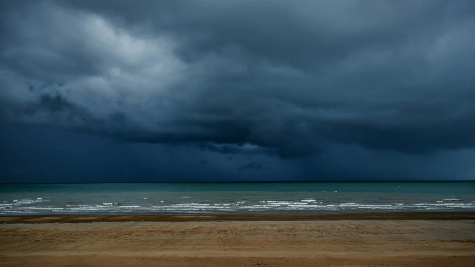
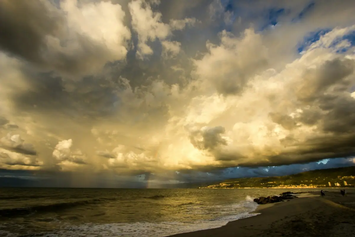
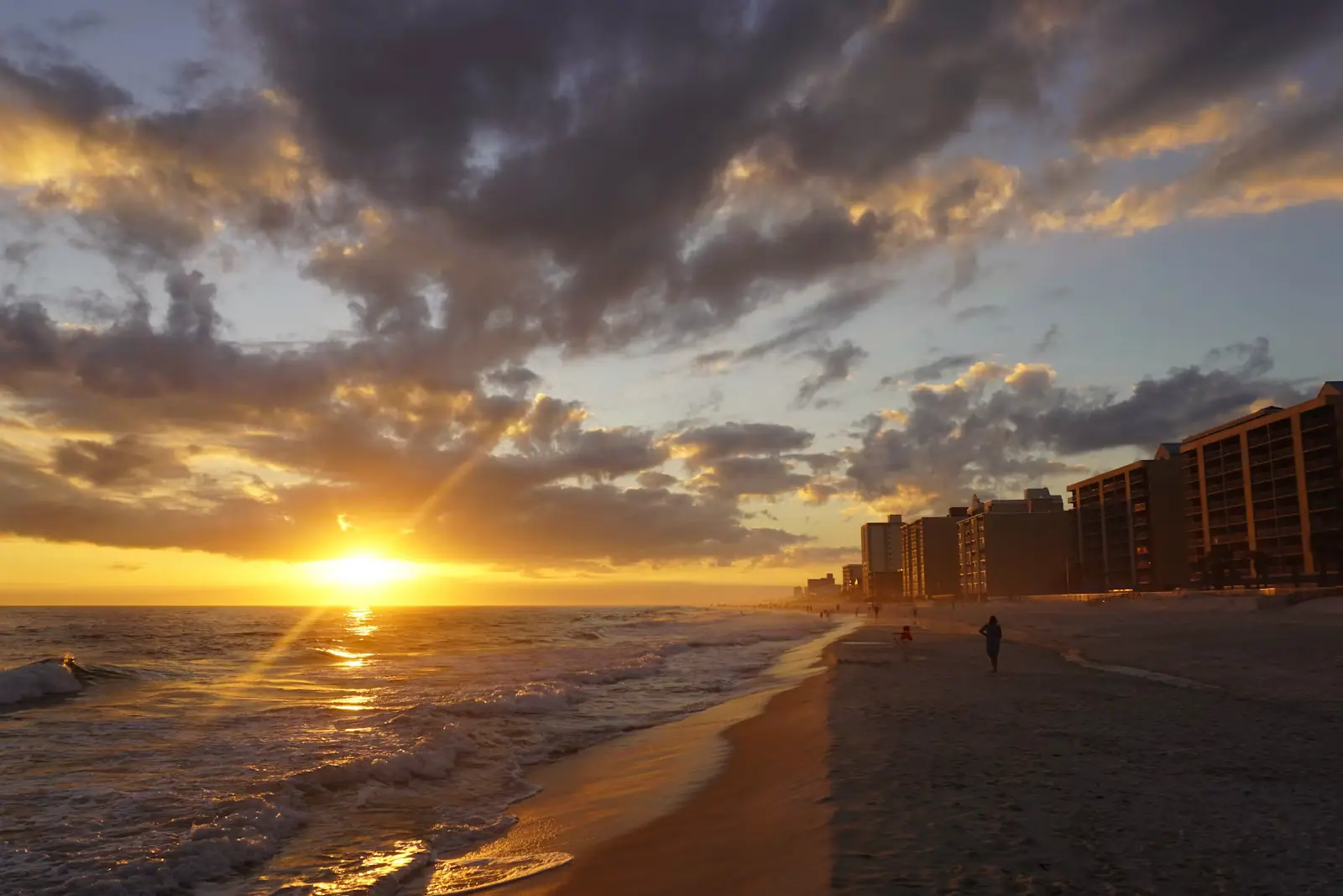
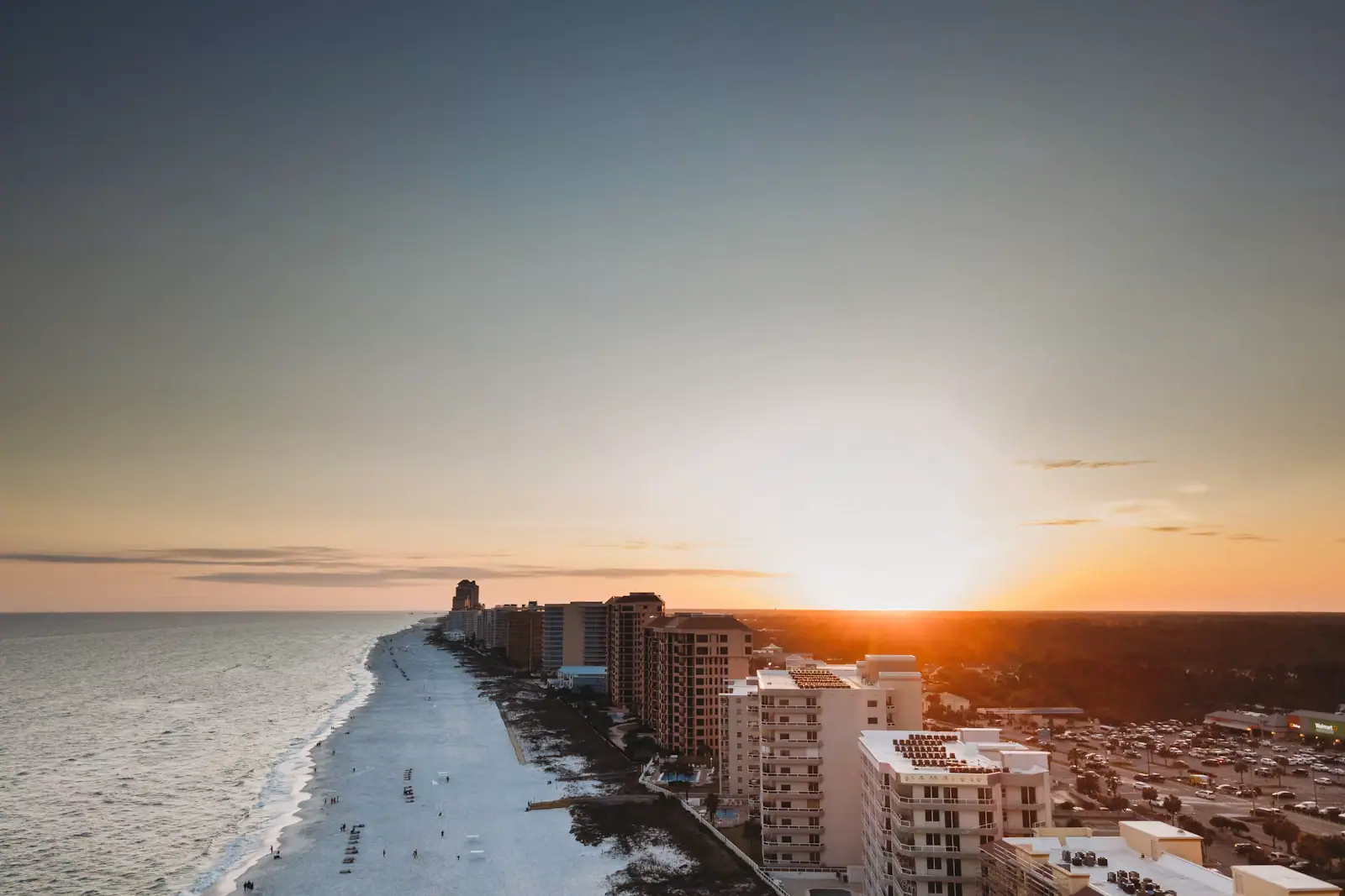
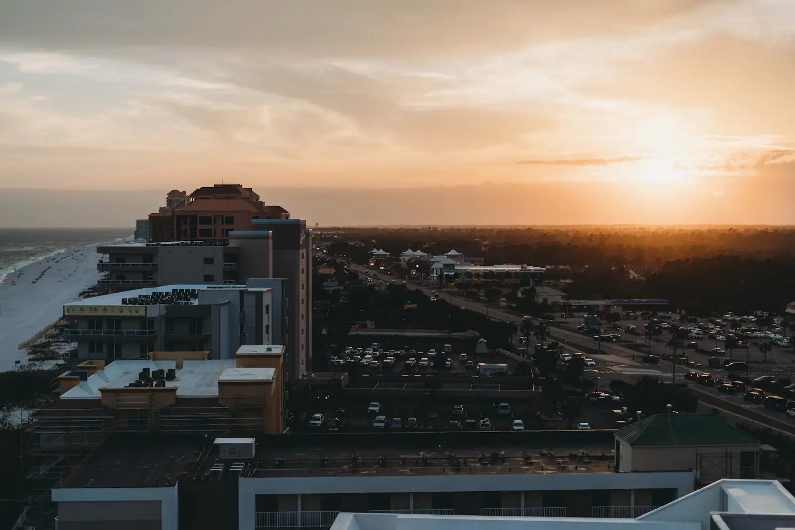
The summer storm. June into September, most often between about one and five in the afternoon. It builds inland, comes over the coast fast, drops a serious amount of water and a great deal of lightning, and frequently clears to a bright evening. It rarely eats a whole day. What it does eat is the middle of one, and the pool closure that follows it usually outlasts the rain.
The right response is to have planned the morning properly. Beach at eight, off the sand by noon, lunch at the rental, and whatever happens between one and four happens without ruining anything. Families who treat the afternoon as the main event spend the week being interrupted.
The frontal day. Late October through April, a system comes through, and the result is grey, breezy and persistent. The Gulf turns brown and choppy, the temperature drops more than the numbers suggest because of the wind, and the beach is simply not where you want to be. These are real wet days and they need a real plan.
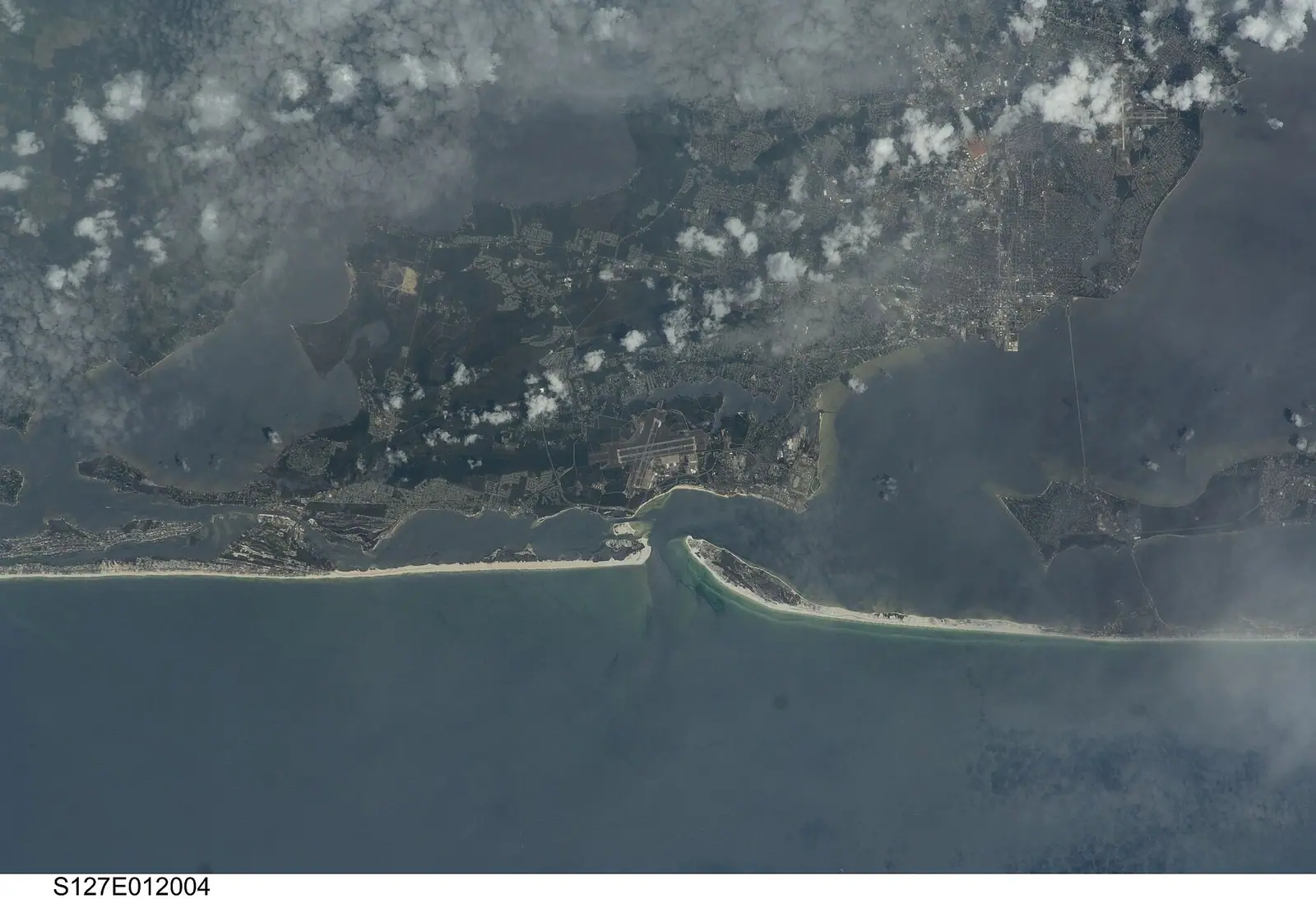
The hurricane question. Officially 1 June to 30 November, with September carrying the highest risk. This is not a rainy-day problem, it is a different category of event, and it deserves the honesty this coast has earned: Hurricane Ivan came ashore essentially here in September 2004 and Hurricane Sally in September 2020, both directly. If a named system is anywhere in the Gulf during your trip, follow local emergency guidance rather than a weather app, and note that the county's hurricane re-entry system means leaving is sometimes easier than coming back.