Skip to content
Search
Menu

These bookings go through Viator, and we are paid for them. Your price is the same, and the payment had nothing to do with the picks.

Cars moving along a two-lane coastal highway with open water alongside it
Gary Todd from Xinzheng, China

Historic site

Fort Morgan State Historic Site

Last updated

A brick pentagon at the end of a 22-mile peninsula, where Farragut ran the Union fleet into Mobile Bay in August 1864.

Fort Morgan sits where the land runs out. Drive west from Gulf Shores on Highway 180 and the condominiums give way to refuge, then to scrub and low houses, then to nothing much at all, and after about twenty-two miles the road ends at a brick fortification pointing across open water at Dauphin Island. The gap between the two is the entrance to Mobile Bay, and controlling it was the point of building here.

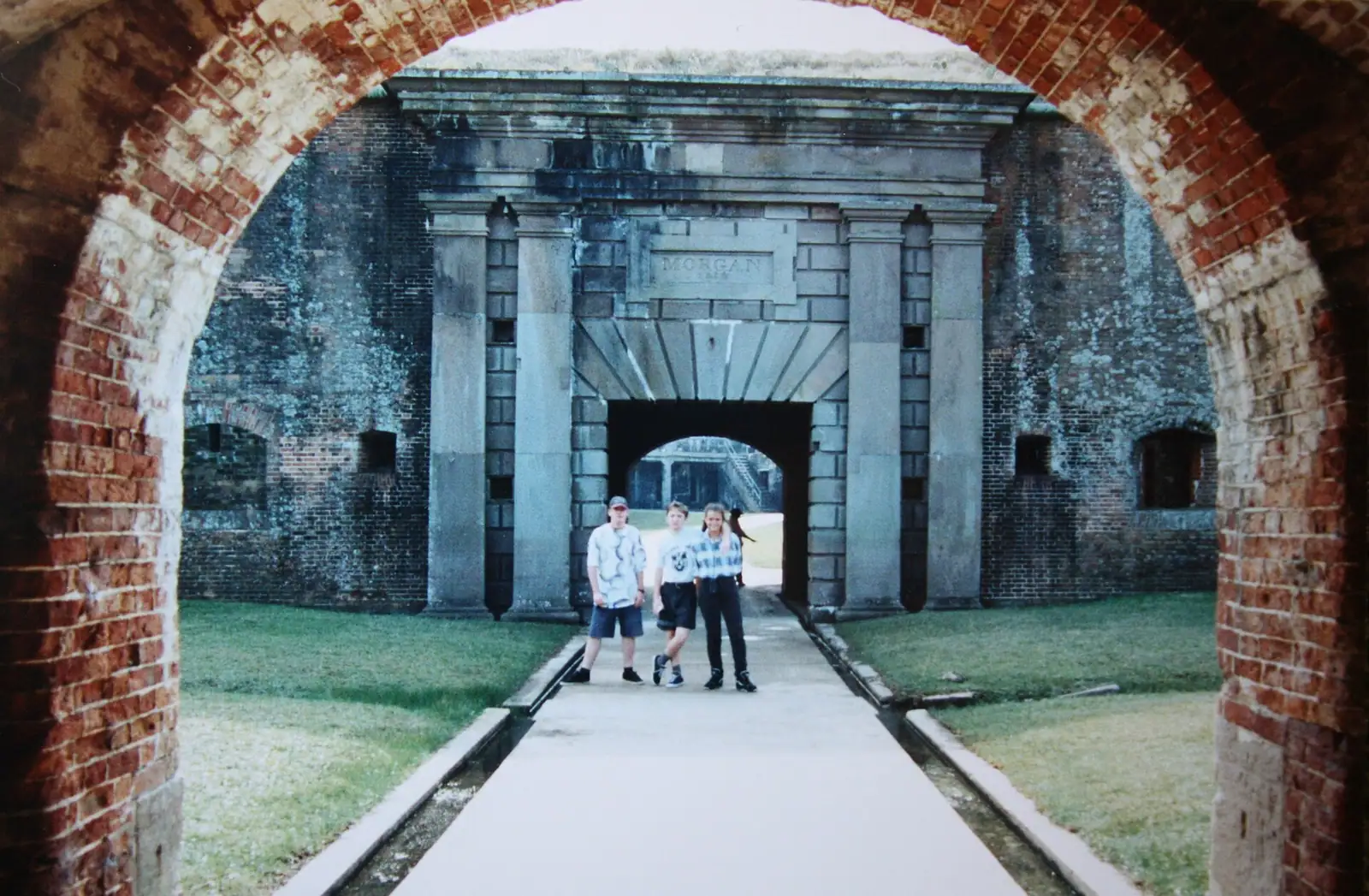
The fort went up between 1819 and 1834, a masonry pentagon with bastions at the corners, built by the Army Corps of Engineers to a design by Simon Bernard, an engineer who had served Napoleon before he served the United States. The brickwork is the reason to come. It is extraordinary: arched casemates, curved passages, a citadel footprint at the centre, and the kind of nineteenth-century masonry that no longer gets built anywhere.

On 5 August 1864 a Union fleet under David Farragut forced the entrance past these guns and past a field of moored mines, which that century called torpedoes. One ironclad, the Tecumseh, struck one and went down almost immediately. The order attributed to Farragut afterwards is the most quoted line in American naval history, and whether he said it in those words is less certain than the schoolbooks suggest. The fort itself held out under siege and surrendered on 23 August.

It did not stop there. Between 1895 and 1900 the Army built five concrete batteries inside and around the old brick works for modern breech-loading guns, and the site was used through the Spanish-American War, both world wars and up to 1947. You are therefore walking through about 130 years of military architecture stacked on one headland, which is unusual and visibly strange.

Getting there and parking

One road, and it takes a while. From the Highway 59 junction in Gulf Shores, go west on Beach Boulevard, which becomes Fort Morgan Road (Highway 180), and stay on it for roughly twenty-two miles to the end. Allow forty minutes, and more on a Saturday when weekly rentals are changing over.

There is no alternative route along the peninsula, no through road, and very little fuel or food after the first few miles. Fill up in Gulf Shores.

From Orange Beach add half an hour, because you cross the whole of Gulf Shores first. From Mobile, the fastest approach is often the ferry from Dauphin Island rather than driving the long way round the bay, which is the whole argument for the ferry existing.

Parking at the fort is on site. The ferry landing is immediately beside it, so a fort visit and a crossing fit together naturally if the ferry is running that day.

What to actually look at

Two hours is a comfortable visit and an hour is enough if the children are small. Prioritise in roughly this order.

The casemates. The arched brick galleries inside the walls are the single most impressive thing on the Alabama coast and photograph beautifully in low side light. They are also cool, which in July is not a minor consideration.

The parade ground and the citadel footprint. Standing in the middle gives you the geometry: a pentagon with a bastion at each point, designed so that every face of the wall could be covered by fire from another.

The concrete batteries. Grey, angular, utterly unlike the brick, and dropped straight into the nineteenth-century fort around the turn of the twentieth. Battery architecture like this exists all along the American coast and is almost never seen next to a masonry fort in the same walk.

The water. From the ramparts you look straight across the bay entrance to Dauphin Island, with the ship channel running between. Bulk carriers heading for the Port of Mobile pass close enough to read.

The museum. Smaller than the fort and worth twenty minutes, particularly for the battle material.

Take a torch. Some of the interior passages are genuinely dark, and phone lights are not adequate for the stairs.
The other reason people drive out here

The Fort Morgan peninsula is one of the best-known spring migration sites on the Gulf of Mexico, and in April the car park holds as many binoculars as cameras.

The mechanism is brutal and simple. Songbirds crossing the Gulf from the Yucatan make an unbroken flight of hundreds of miles over open water, and the tip of this peninsula is one of the first pieces of land they meet. In good conditions they carry on inland and you see very little. After a headwind or a spring cold front, they come down exhausted into the first cover available, which is the scrub and the small stands of trees around the fort. Birders call it a fallout, and a good one here is a once-in-several-years event that people drive across three states for.

Autumn works in reverse, with birds staging on the peninsula before making the crossing south.

The practical version for a casual visitor: in April, walk slowly around the vegetation at the edges of the site rather than marching straight to the walls, and look low. Warblers, tanagers, buntings and orioles after a hard crossing behave nothing like the wary birds you know from home.

Bring the same kit you would bring for the refuge back down the road. Sun, no shade, biting insects near the scrub, and sand underfoot.

Getting there, paying and timing it

The drive is the commitment. It is roughly twenty-two miles from Gulf Shores along Highway 180, on a single road with no alternative route, so allow forty minutes each way and considerably more on a summer Saturday when the beach rentals change over.

Admission has recently run to around eight dollars for an adult, about five for students, seniors and children from six to eighteen, with a family rate and free entry for military personnel with identification. The site has generally opened daily around eight in the morning until half past four, with shorter museum hours and closures on major holidays. Treat all of that as indicative: verify with the Alabama Historical Commission before travelling, because these figures move and a wasted eighty-mile round trip is a bad afternoon.

Timing matters more here than at most historic sites. There is very little shade inside a brick fort in the middle of a July afternoon, and the interior galleries are the coolest part of the site for a reason. Early morning is the best light for the brickwork and the best hour for birds.

Combine it with something. The Bon Secour trailheads are on the way out, the ferry to Dauphin Island leaves from beside the fort, and the beaches at the end of the peninsula are as empty as Alabama gets. On its own, the fort is a two-hour stop at the end of a forty-minute drive.

Near Fort Morgan

Straight-line distances, so allow more on the road — the island is long and has one main parkway.

  • Small boats lying at anchor on flat grey water under a heavy cloud-filled sky
    Landmark

    Mobile Bay Ferry

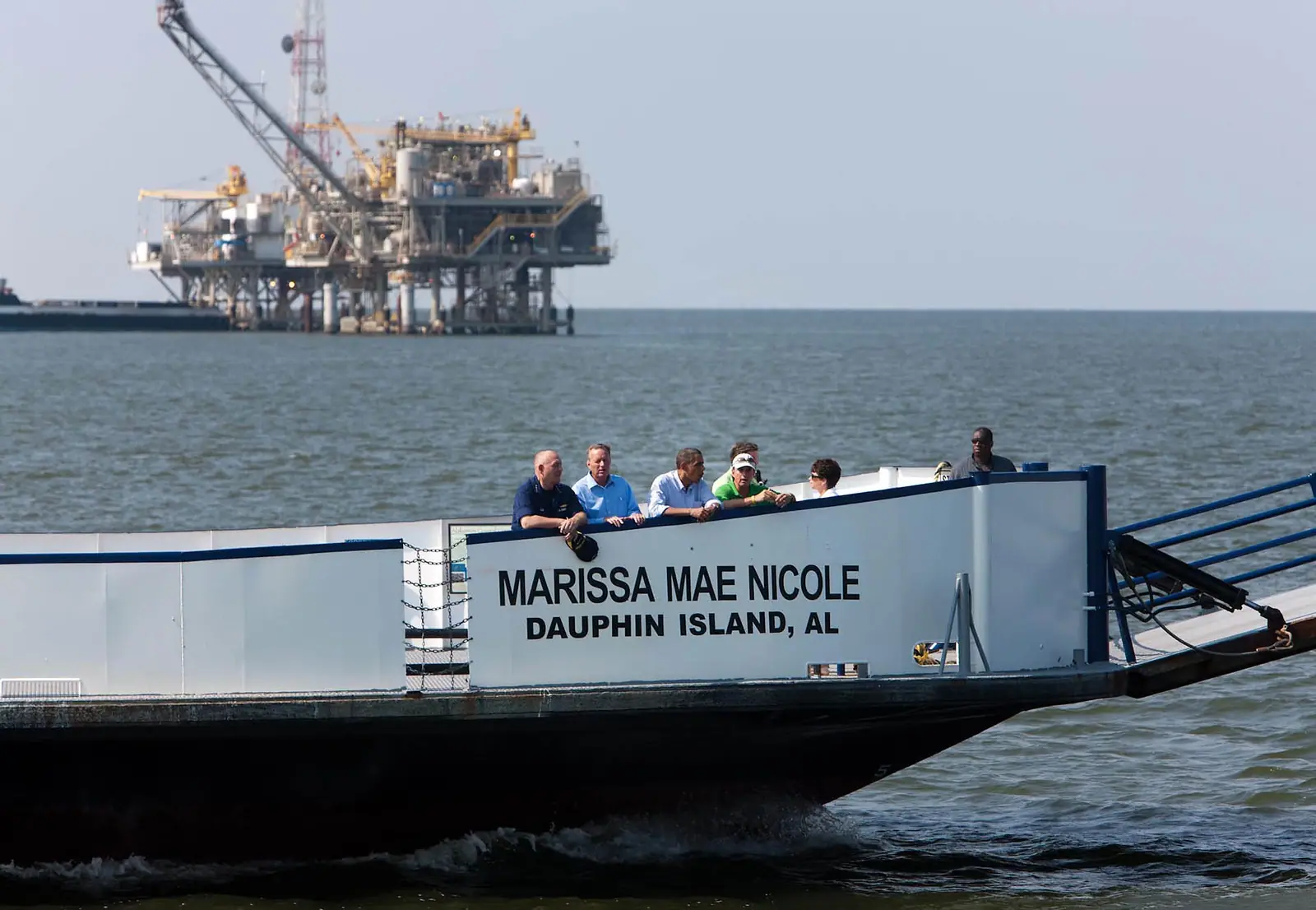
    Forty minutes across the mouth of Mobile Bay, no advance tickets, and a service that has been suspended more than once.

    0.5–2 hoursRecently $15 for a vehicle under 22 feet, $20 for 22 feet and over, $7 for a motorcycle, and $6 per passenger or pedestrian, one way.650 ft away

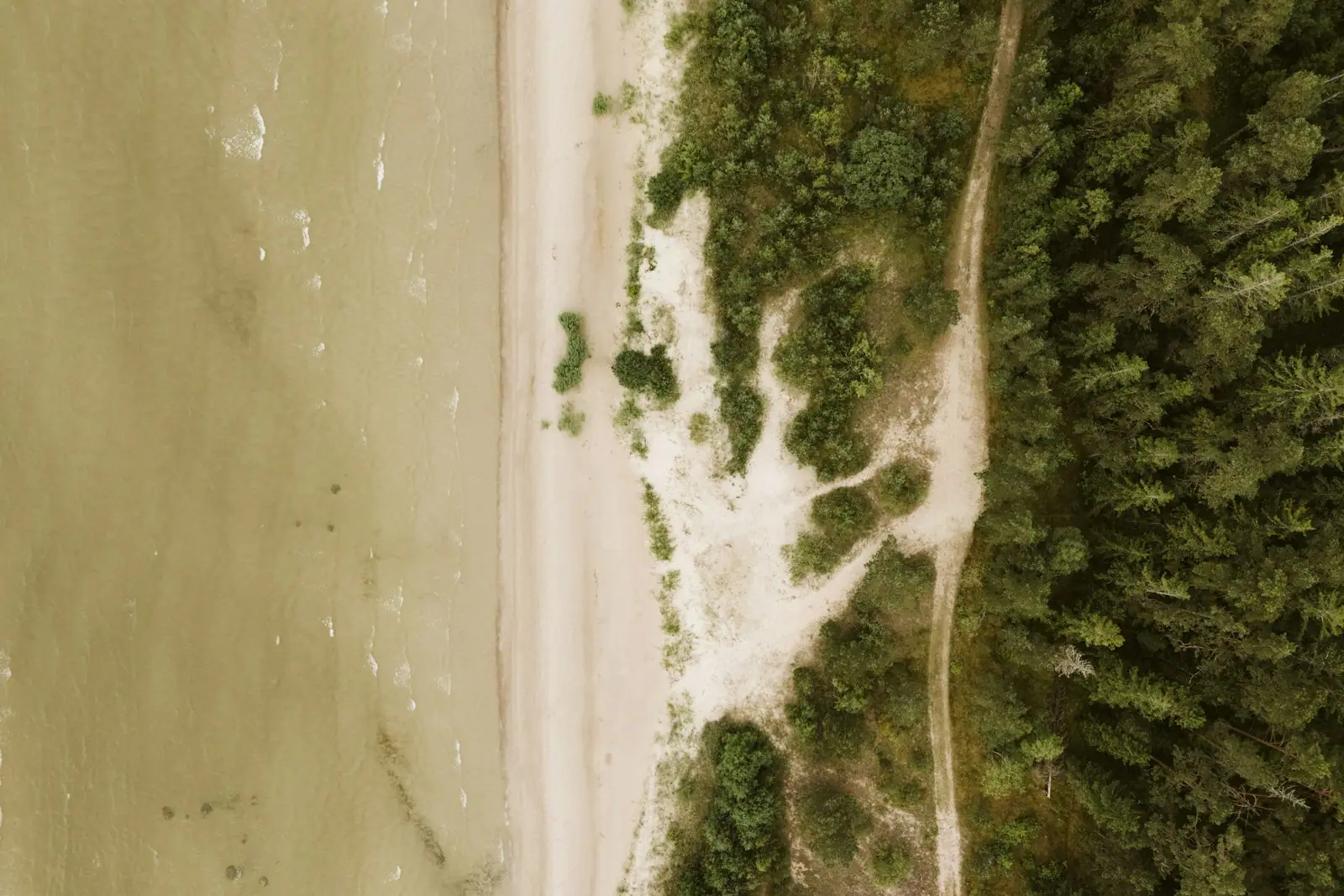
  • An aerial view of an empty pale sand shoreline meeting an unbroken block of dense pine forest
    Free
    Nature preserve

    Bon Secour National Wildlife Refuge

    Alabama's last large stretch of wild coastal dune, walkable on foot only, and protected largely for a nocturnal mouse.

    1–4 hoursFree. There is no entry fee and no parking charge at the refuge trailheads.11.9 mi away

  • A long causeway bridge crossing open water towards a low shoreline
    Free
    Landmark

    Dauphin Island

    Fifteen miles of barrier island with 1,778 residents, a Civil War fort and a continental flyway, across the water from Fort Morgan.

    4–9 hoursThe island, the beach and the bird sanctuary are free. The ferry, Fort Gaines and the Estuarium each charge separately.5.5 mi away

  • A wide empty stretch of pale sand running away beside shallow clear water with almost nobody on it
    Free
    Beach

    West Beach

    A ribbon of sand with the Gulf on one side and a ten-mile brackish lagoon on the other, reached by numbered street ends.

    1.5–5 hoursThe beach is free. Designated parking spaces at the street ends and at Lagoon Pass Park are charged by the hour in season.17.6 mi away

Fort Morgan: common questions

How far is Fort Morgan from Gulf Shores?

About twenty-two miles west along Highway 180, which is forty minutes of driving each way and longer on a summer Saturday when weekly rentals change over. There is one road down the peninsula and no alternative, so allow for it. Fuel and food thin out quickly once you leave Gulf Shores, and the Bon Secour refuge trailheads are the only other formal stop on the way.

What happened at Fort Morgan in 1864?

The Battle of Mobile Bay. On 5 August 1864 a Union fleet under David Farragut forced the bay entrance past the fort's guns and a field of moored mines, then called torpedoes. The ironclad Tecumseh struck one and sank almost at once. The order attributed to Farragut in that moment is the most quoted line in American naval history, though the exact wording is less certain than it is usually presented. The fort surrendered on 23 August.

How much does Fort Morgan cost to visit?

Recently around eight dollars for an adult, about five for students, seniors and children from six to eighteen, with a family rate and free entry for military personnel with identification. Hours have generally been around eight in the morning to half past four daily, with shorter museum hours. Confirm current prices and opening times with the Alabama Historical Commission before you drive out, because it is a long round trip to find a closed gate.

Is Fort Morgan good for birdwatching?

It is one of the best-known spring migration sites on the Gulf. Songbirds crossing from the Yucatan hit this peninsula as their first landfall after hundreds of miles over water, and after a headwind or a cold front they drop exhausted into the scrub around the fort. Birders call that a fallout, and a good April morning here draws people from several states. Autumn reverses it, with birds staging before the crossing south.