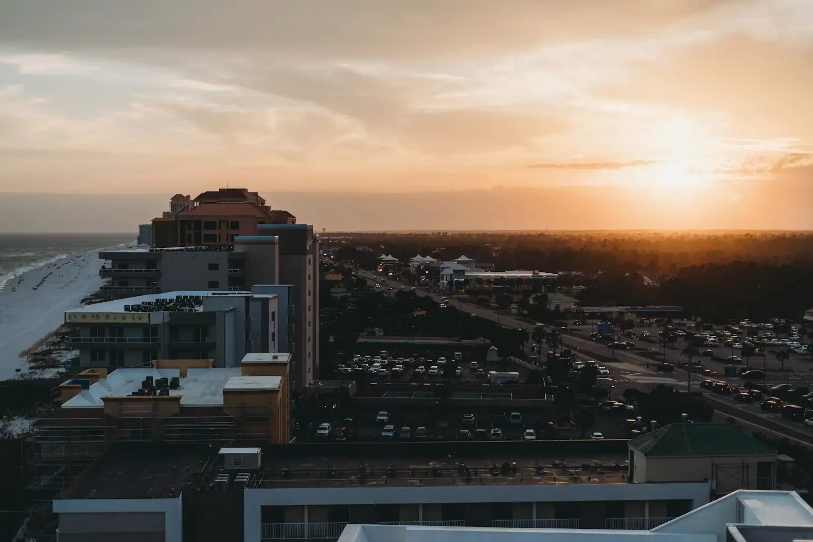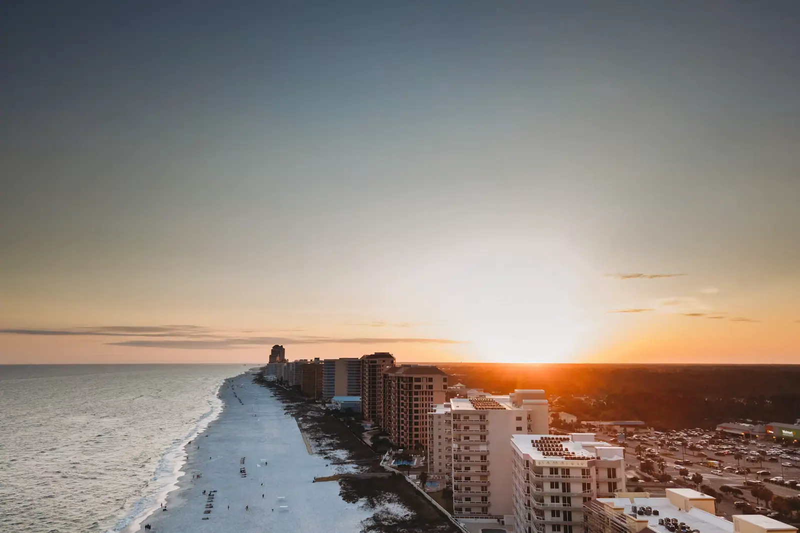
Highway 180 leaves Gulf Shores heading west and runs about twenty-two miles down a narrowing peninsula to a fort at the mouth of Mobile Bay. There are no towers out here. There is no supermarket, and for long stretches no shops of any kind. Houses stand on stilts in ones and twos, dunes run down both sides of the road, and after dark it is genuinely dark.
That emptiness is the whole attraction, and it is also the practical warning. Fill the tank, buy the food and fill the water bottles in Gulf Shores before you turn west. People misjudge this drive because on a map it looks like a suburb.
What is out there, and how far
| Where | Roughly, from central Gulf Shores | What is there |
|---|---|---|
| Bon Secour refuge trailheads | 8-10 miles | The Jeff Friend loop and the Pine Beach Trail; no facilities |
| Mid-peninsula beach accesses | 12-16 miles | Small lots, empty sand, no lifeguards and no showers |
| Fort Morgan Historic Site | About 22 miles | The fort, the museum and the bookshop |
| The ferry terminal | About 22 miles | Vehicle and foot sailings across to Dauphin Island |
| Dauphin Island | Across the water | Fort Gaines, the bird sanctuary, the Sea Lab aquarium |
Nothing on that list has a supermarket attached to it, which is the point of the paragraph above.
What is at the end
Fort Morgan is a masonry fort completed in the 1830s on Mobile Point, built to close the mouth of Mobile Bay in partnership with Fort Gaines on Dauphin Island, three miles across the channel. The two forts faced each other across the water and the shipping had to pass between them.
On 5 August 1864 a Union fleet under David Farragut forced that channel under fire from the fort and from a Confederate squadron inside the bay, in the engagement that gave American English one of its most quoted orders. Four days later a Union land force began a siege of the fort itself. It lasted fourteen days, and the garrison surrendered on 23 August 1864.
What survives is more interesting to walk than most Civil War sites, because the fort was not abandoned in 1865. It was re-armed for the Spanish–American War and used again in both world wars, so you move through 1830s brick casemates, concrete gun batteries from around 1900 and later fortifications within a few hundred yards.
Admission has been in the region of eight dollars for adults with lower rates for children, students and seniors, a family rate, and free entry for active-duty military and their families between Memorial Day and Labor Day. The museum and the site keep slightly different hours and both close for a handful of holidays. Confirm current pricing and hours with the Alabama Historical Commission rather than relying on a figure in a guide.
How to walk it without wilting
Bring a torch. The lower casemates and the connecting passages are genuinely dark, and phone lights are poor at showing you a step down.
Bring more water than you think. There is little shade inside a brick fort, and old brickwork in August radiates heat back at you long after the sun has moved.
Wear real shoes. The surfaces are uneven brick, sand and concrete, and there are stairs without handrails in several places.
Allow an hour and a half, or two if anyone in the party reads every board. It is a bigger site than it looks from the car park.
The ferry, and why every sentence about it is hedged
The Mobile Bay Ferry runs between Fort Morgan and Dauphin Island, carrying vehicles and foot passengers across the mouth of the bay. Two vessels work the route — the Fort Morgan and the Marissa Mae Nicole — with at least one operating year-round and both running in the busy summer months.
Departures from the Fort Morgan side have typically started around eight in the morning and run at roughly ninety-minute intervals into the early evening, with the Dauphin Island side starting about three quarters of an hour later. The crossing itself is short — well under an hour.
Here is the part that matters. This service stops. It is suspended when winds exceed around thirty-five miles an hour or seas run above six feet, which on this coast is not a rare day in winter. It has also been out of service for extended periods in the past for reasons that had nothing to do with weather. Anybody who tells you the ferry "runs every ninety minutes" is quoting a timetable, not a guarantee.
Check the operator's own channels on the morning you intend to travel, not the week before. Then build the day so that a cancelled sailing costs you a change of plan rather than a ruined day.
What crossing gets you
Dauphin Island is a different world from the Alabama beach strip: quieter, older, lower-rise, with its own character entirely.
Fort Gaines sits at the eastern end of the island and is the other half of the 1864 story. Seeing both forts in a day, from the water in between, is the only way the battle makes geographic sense.
The Audubon Bird Sanctuary covers a substantial area of maritime forest, marsh and dune and is one of the better-known migration stopovers on the Gulf.
The Dauphin Island Sea Lab's public aquarium covers the Mobile Bay estuary, the delta and the Gulf, and is the right scale for an afternoon rather than a full day.
Time it for the birds if you can
Fort Morgan is one of the most significant spring migration landfalls on the northern Gulf. Trans-Gulf migrants — warblers, tanagers, buntings, thrushes, cuckoos, swallows — cross roughly six hundred miles of open water from the Yucatán peninsula and this is the first solid ground they reach.
In late March and April, and especially after a front pushes through and forces birds down, the scrub at the end of the peninsula can hold extraordinary numbers. Banding work has been carried out here for decades and continues in partnership between Alabama Audubon, the state and the historic site.
Bring binoculars, stay on the paths and out of private property, and understand that the birds you are looking at have just flown through the night over open sea and need to eat rather than be followed.
The beaches out here
They are the emptiest in Alabama and they have nothing on them: no lifeguards, no showers, and in places no restrooms. That is the trade. The sand is the same near-white quartz as everywhere else on this coast, there is simply far less competition for it.
The mouth of the bay means current. Water moving in and out of Mobile Bay past Mobile Point is not the same proposition as the open Gulf in front of a condo, and the far tip of the peninsula is not a casual swimming spot. Swim in front of the houses rather than at the point.
Planning the day, in the right order
Check the ferry first thing. Everything else depends on it, and the answer changes with the weather.
If it is running and you want the crossing, leave Gulf Shores early. Drive the peninsula, do the fort first while it is cool, take a late-morning sailing, spend the afternoon on Dauphin Island and come back on an evening boat. Build in the possibility that the return sailing is cancelled and you face a long drive round through Mobile — which is the real risk of a one-way plan and the reason many visitors take the boat both ways rather than looping.
If the ferry is not running, the day still works. The fort, the beaches and the birding are the reasons to drive out here, and the crossing is a bonus rather than the point.
A half-day version is entirely reasonable: leave after breakfast, do the fort, walk on an empty beach, be back in Gulf Shores for a late lunch.
Whatever you do, fuel up before you turn west and take drinking water for everyone. This is the one road on the Alabama coast where running short is a genuine inconvenience rather than a five-minute detour.
What the peninsula does not have
No supermarket, and for long stretches no shop at all. No public transport. Patchy mobile coverage in places. No lifeguards on the beaches. Very little shade anywhere.
The road itself is fast, straight and two lanes, and it carries a mix of local traffic, service vehicles and tourists doing thirty-five while looking at the dunes. Overtaking is the main hazard out here.
At the far tip, the current running in and out of Mobile Bay is strong enough to matter. This is not the place for an inflatable, a lilo or an unconfident swimmer, whatever the surface looks like.
In summer, the fort's brickwork holds heat for hours after midday, and there is no drinking fountain on the ramparts. Bring water in, and bring more of it than a museum visit would normally require.
And keep an eye on the sky between May and October: if a named storm is anywhere in the Gulf, the peninsula is the first part of this destination to be told to leave, and the road out is the only road out.
Last updated
Opening hours, ordinances and prices move with the season. We re-check this guide rather than rewrite it, and the date above is the last time someone did. How we research and correct.