Skip to content
Search
Menu

These bookings go through Viator, and we are paid for them. Your price is the same, and the payment had nothing to do with the picks.

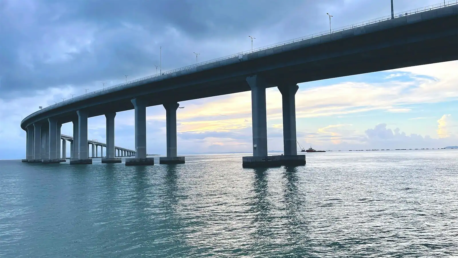
A long low road bridge crossing a wide stretch of open water under a pale sky
Unsplash

Plan your trip

Getting to and Around Gulf Shores

Last updated

How to reach Gulf Shores and move around it: three roads, two parking systems, the Mobile Bay Ferry, airport drive times and why Saturday is the worst day.

Alabama's coast is served by three roads, and once you understand that, everything else about moving around here makes sense.

The first runs along the beach. State Route 182 is Beach Boulevard in Gulf Shores and Perdido Beach Boulevard in Orange Beach, and it carries every visitor, every delivery and every condo's worth of traffic from the state line at Perdido Pass west into the middle of Gulf Shores. There is no parallel route along the sand. When it stops, everything stops.

The second runs north. State Route 59 leaves the beach at the centre of Gulf Shores, crosses the Intracoastal Waterway on a single bridge, passes through Foley and eventually meets Interstate 10. It is the way almost everybody arrives and leaves, and on a summer Saturday, when several thousand weekly rentals turn over at once, it is the reason people talk about Gulf Shores traffic.

The third runs west. State Route 180 leaves Gulf Shores and runs about twenty-three miles down the Fort Morgan peninsula, past Bon Secour National Wildlife Refuge, to the fort at the mouth of Mobile Bay and the ferry terminal beside it. It has almost no services along it. Fuel up before you commit.

There is a fourth route worth knowing, and it is the single most useful piece of local knowledge on this page: the Foley Beach Express, running parallel to Highway 59 a few miles east and dropping you into Orange Beach. Its bridge over the Intracoastal Waterway carried a toll for years, and the state bought the span in 2024, after which toll collection stopped. Many navigation apps still route arriving visitors down 59 out of long habit, and on a changeover Saturday that costs you real time.

You need a car. There is no beach trolley, no municipal bus running the length of Highway 182, and ride-hailing thins out noticeably outside the summer peak and late at night. The one genuine alternative is a bicycle, and it is a better one than it sounds: the Hugh S. Branyon Backcountry Trail gives you twenty-eight-plus miles of paved, car-free path running through Gulf State Park and connecting the two cities, so a condo two miles from the sand is not the penalty it would be somewhere with no such network.
Airports and drive times

When to go

Nobody flies directly to Gulf Shores on a scheduled airline. You fly to one of two regional airports and drive, or you drive the whole way, which a large share of visitors do.

Arriving viaDistance and time
Pensacola International (PNS), FloridaCommonly 60-90 minutes depending where on the coast you are staying
Mobile Regional (MOB), AlabamaAbout 60 miles, roughly 75 minutes
Gulf Shores International / Jack Edwards Field (JKA)About two nautical miles north of Gulf Shores, general aviation and private charter rather than scheduled service
Interstate 10The spine; exit south onto Highway 59 or the Foley Beach Express

Pensacola generally has more scheduled service and is the default for most visitors, though it means crossing into Florida and back. Mobile is closer to the western end of the coast and to Fort Morgan.

Two practical points. Car hire is effectively mandatory, so book it with the flight rather than on arrival, because supply at both regional airports is limited in summer. And private airport shuttle services do operate on this coast; rates vary and they are worth pricing against a week of car hire only if you genuinely intend to stay in one building, which almost nobody does.

Parking: two systems, and they do not talk to each other

A curving coastal road running beside open water on a clear dayUnsplash
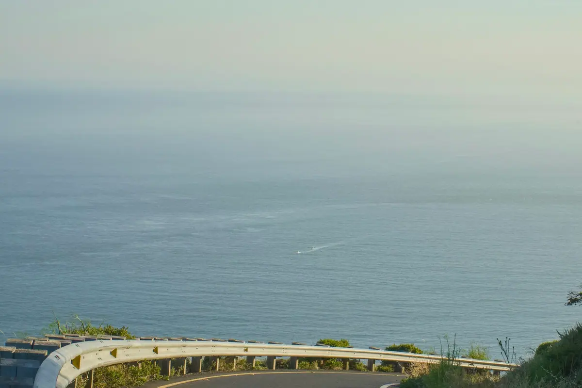
A curving coastal road running beside open water on a clear day

What it costs

This catches nearly every first-time visitor, so it is worth being precise.

The City of Gulf Shores charges by the hour at its public beach accesses, having moved off a flat daily rate in mid-2026. Recent rates have been roughly two dollars an hour for the lots north of Beach Boulevard, three dollars an hour south of it, and a higher rate overnight. Payment is through the ParkMobile app: install it and load a card before you travel. The paid season runs from the first of March to the thirtieth of November and enforcement has run from seven in the morning to two the following morning. Residents with a city hurricane re-entry or beach parking decal park free, and East Gulf Place has been resident-only.

Gulf State Park runs an entirely separate set of beach lots at the Pier, the Beach Pavilion, Romar Beach, Cotton Bayou, Alabama Point East and Shell Beach. The rate has recently been fifteen dollars a day per personal vehicle, valid at every park access on the same day, with a higher rate for trailers, buses and large RVs and those restricted to the Pavilion and Pier lots. An annual permit has recently run around two hundred dollars, and active, former and veteran service members have been admitted free with valid identification.

Neither system honours the other. Work out which kind of day you are having before you park: a full beach day beats the hourly meters at the state park rate, and a ninety-minute visit does not.

Elsewhere: The Wharf, the shopping centres and most restaurants have their own free parking. Trailheads on the Backcountry Trail are generally free, although a few sit inside paid beach lots, so choose an inland access if you want to avoid a charge.

The Mobile Bay Ferry

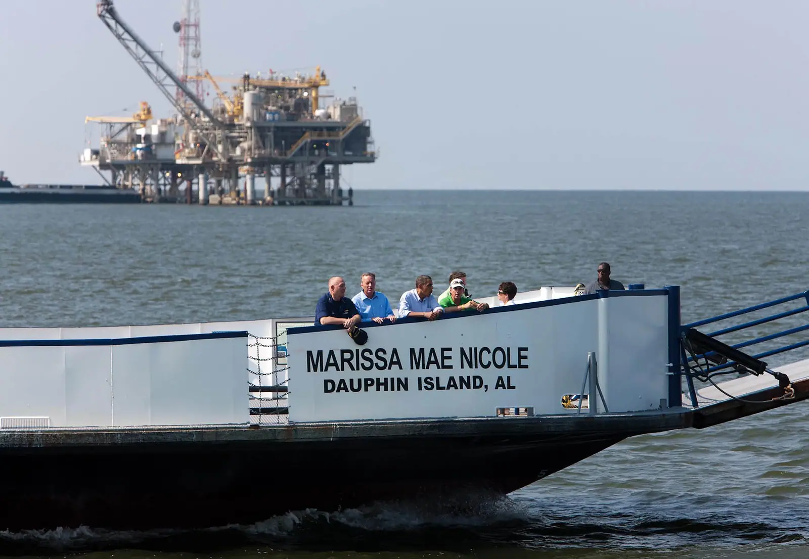
From the tip of the Fort Morgan peninsula, a car ferry crosses the mouth of Mobile Bay to Dauphin Island. It is the only piece of public transport on this coast that a visitor is likely to use, and it is genuinely useful: it turns the long drive west into a loop rather than an out-and-back, and it cuts a very long road journey around the top of the bay down to a crossing of around forty minutes.

Two vessels serve the route, with at least one running year-round and both in the busy summer months. Departures from the Fort Morgan side have recently started around eight in the morning and run roughly every ninety minutes into the early evening, with the Dauphin Island side offset by about forty-five minutes. Evening sailings are seasonal.

The important caveat is that this is a working ferry on open water at the entrance to a major bay, and it stops when conditions demand. Service has been suspended when winds exceed roughly thirty-five miles an hour or seas run above about six feet, and it does not operate on Thanksgiving, Christmas Day or New Year's Day. It has also had longer suspensions over the years for vessel and funding reasons. Check the day you intend to travel rather than relying on a timetable you read a month ago, and have a plan for driving back the way you came.

Practical notes: arrive early in summer, because vehicle capacity is finite and a full sailing means waiting ninety minutes for the next one. Fares are charged by vehicle and by passenger and they change, so check current rates. And once you are on Dauphin Island, the Audubon Bird Sanctuary and the Estuarium are the two things worth the crossing beyond the crossing itself.

Bikes are actual transport here, not a novelty

Local tips

  • The network is real. The Hugh S. Branyon Backcountry Trail runs more than twenty-eight paved miles through Gulf State Park, made up of twenty-six named trails, and it links Gulf Shores to Orange Beach without touching Highway 182. It is flat, it is separated from traffic, and it is free.
  • It changes where you can afford to stay. A rental a couple of miles inland is a twelve-minute ride from the sand on a paved path rather than a daily parking charge. Over a week that is a meaningful saving and a pleasanter start to the day.
  • Hire locally rather than hauling bikes. Operators near the park entrances rent by the hour, the day and the week, and most will deliver to a rental property.
  • Ride early. The open stretches have no shade and the surface holds heat. Before nine is comfortable; two in the afternoon in July is not.
  • Lights and locks matter. The trail is unlit, and it closes at dusk in places. Check posted hours rather than assuming.
  • Beach cruisers are not trail bikes and that is fine. The surface is smooth enough for anything with wheels, including a pushchair and a child on a first pedal bike.
  • Alligators live in the freshwater sections. Keep dogs leashed, do not stop on the bank, and do not feed anything. In practice they are indifferent to cyclists.

What there is instead of public transport

Very little, and it is better to know that before you arrive than to discover it on a Tuesday.

There is no trolley or municipal bus service running the length of the beach highway, and no scheduled link between Gulf Shores, Orange Beach and Fort Morgan that a visitor can plan a day around. Baldwin County operates transport services aimed at residents rather than tourists. If a seasonal shuttle is running in a given year it will be advertised locally, so ask at your rental office rather than assuming one exists.

Ride-hailing works in the built-up parts of Gulf Shores and Orange Beach through the summer, and it thins considerably outside the season, late at night, and anywhere down the Fort Morgan peninsula. Do not rely on it for a return journey from a restaurant at eleven in January, and certainly not from the fort.

Taxis exist and are worth a saved number if you intend to drink and drive back from the Flora-Bama, which is a twelve-mile trip from Orange Beach along a road that is heavily policed for exactly that reason.

The upshot is the same as the opening of this page: rent a car, take or hire bikes, and treat everything else as a bonus. The good news is that the destination is small. From the public beach in Gulf Shores, nothing on this coast is more than about forty-five minutes away, and most of it is under twenty-five.

The Saturday problem, and how to route around it

Before you book

Most vacation rentals on this coast still run Saturday to Saturday. That means that on a summer Saturday the entire visitor population changes places: several thousand parties check out in the morning, several thousand more check in during the afternoon, and all of them use the same three roads.

The consequences are specific rather than vague.

Northbound is worst in the morning, from roughly nine until midday, as departing guests head for Highway 59 and the interstate.

Southbound is worst in the afternoon, from about two until seven, as arriving guests reach the coast ahead of a four o'clock check-in.

The Highway 59 bridge over the Intracoastal Waterway is the pinch point, because there is no alternative crossing on that alignment.

The fixes are straightforward. Use the Foley Beach Express instead of Highway 59, in either direction, and ignore the navigation app if it insists otherwise. Shift your own timing: arriving at two rather than four, or leaving at eight rather than ten, is worth more than any route choice. Do the grocery run north of the waterway before you reach the beach rather than driving back out for it. And do not schedule anything on a changeover Saturday, in either direction, that depends on being somewhere at a particular time.

If you are flying out of Pensacola on a Saturday, give yourself well over the nominal sixty to ninety minutes.

On the ground

Where to go

Every place below has its own page — hours, parking, what it costs and what to expect when you get there.

  • Cars moving along a two-lane coastal highway with open water alongside it
    Historic site

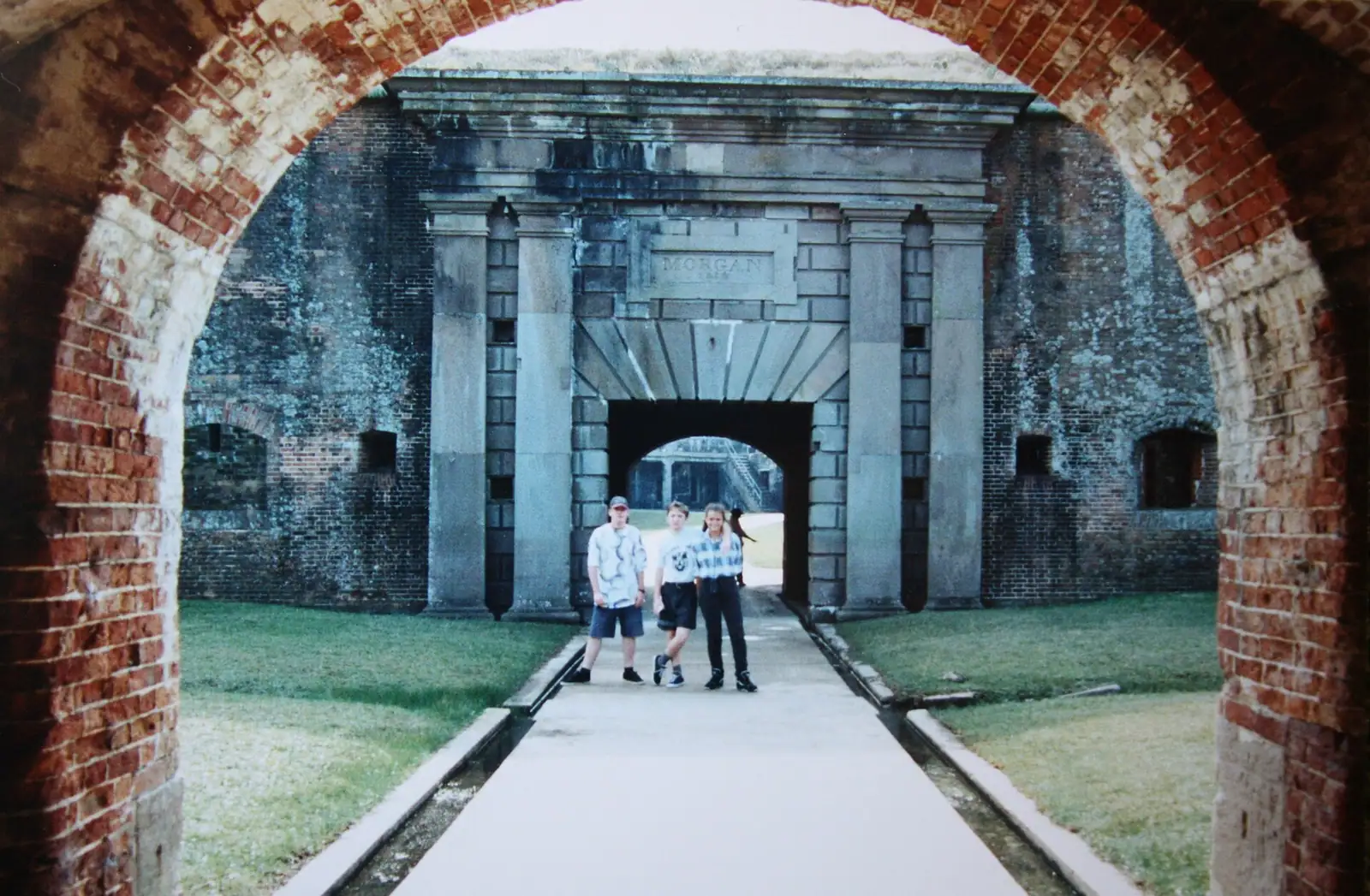
    Fort Morgan State Historic Site

    A brick pentagon at the end of a 22-mile peninsula, where Farragut ran the Union fleet into Mobile Bay in August 1864.

    1–3 hoursRecently around $8 for an adult, about $5 for students, seniors and children aged 6 to 18, with a family rate and free entry for military with ID.

  • A narrow walkway running through thick forest with light coming through the canopy above
    Free
    Trail

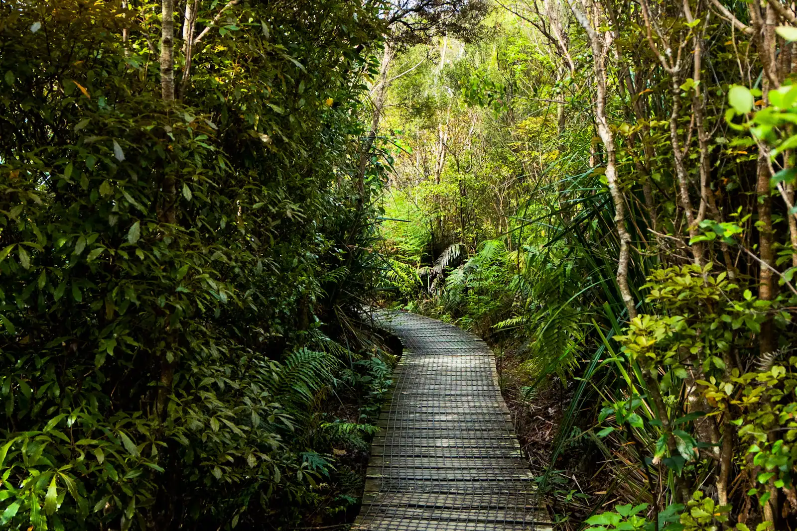
    Hugh S. Branyon Backcountry Trail

    More than 28 miles of paved trail through swamp, pine ridge and dune, ridden by road bikes, wheelchairs and three-year-olds alike.

    1–5 hoursFree. There is no charge to use any part of the trail network.

  • A long causeway bridge crossing open water towards a low shoreline
    Free
    Landmark

    Dauphin Island

    Fifteen miles of barrier island with 1,778 residents, a Civil War fort and a continental flyway, across the water from Fort Morgan.

    4–9 hoursThe island, the beach and the bird sanctuary are free. The ferry, Fort Gaines and the Estuarium each charge separately.

  • Rows of boats moored in a marina basin on flat water in early morning light
    Free
    Neighbourhood

    Orange Beach

    Alabama's other beach city: nine thousand people, a maze of back bays and the only cut from those bays to open Gulf water.

    3–10 hoursFree to visit. Beach parking is charged at both city and state park accesses.

  • Aerial view of bright white sand meeting shallow water that shades from pale green to deep blue
    Free
    Beach

    Gulf Shores Public Beach

    Where Highway 59 runs out of land: pavilions, showers, volleyball nets, The Hangout next door and hourly parking since July 2026.

    2–7 hoursThe beach is free. Parking is not: non-residents pay by the hour through a phone app during the paid season.

  • Aerial view of a narrow tidal pass cut between two low sandy shorelines
    Free
    Water feature

    Perdido Pass

    The only gap in thirty-two miles of Alabama barrier coast, armoured with granite, and the wrong place to let anyone swim.

    1–3 hoursFree to visit. Parking at the adjoining Gulf State Park beach accesses is charged per vehicle per day.

  • Small boats lying at anchor on flat grey water under a heavy cloud-filled sky
    Landmark

    Mobile Bay Ferry

    Forty minutes across the mouth of Mobile Bay, no advance tickets, and a service that has been suspended more than once.

    0.5–2 hoursRecently $15 for a vehicle under 22 feet, $20 for 22 feet and over, $7 for a motorcycle, and $6 per passenger or pedestrian, one way.

Straight answers

Questions people actually ask

Do you need a car in Gulf Shores?

In practice, yes. There is no trolley or municipal bus along the beach highway, ride-hailing thins out badly outside the summer peak and on the Fort Morgan peninsula, and the destination stretches about thirty-two miles from the Florida state line to the mouth of Mobile Bay. A beachfront condo lets you walk to the sand and some food, but Gulf State Park trailheads, Fort Morgan, the zoo and The Wharf all assume a vehicle. Bikes cover more than you would expect.

What is the closest airport to Gulf Shores?

Pensacola International (PNS) in Florida is the usual choice, commonly sixty to ninety minutes away depending on where on the coast you are staying, and it has the most scheduled service. Mobile Regional (MOB) is about sixty miles and roughly seventy-five minutes, and is closer to the western end. Gulf Shores International / Jack Edwards Field sits two nautical miles north of town but serves general aviation and charters, not scheduled airlines. Book car hire with your flight.

Is there still a toll on the Foley Beach Express?

No. The bridge over the Intracoastal Waterway carried a toll for years, and the Alabama Department of Transportation bought the span from its private owner in 2024, after which toll collection ceased. That matters practically: the Beach Express is the faster route to Orange Beach than Highway 59, particularly on a changeover Saturday, and many navigation apps still default to 59. Use the Express in both directions and ignore the app.

Why is traffic so bad in Gulf Shores on Saturday?

Because most rentals here run Saturday to Saturday, so the entire visitor population changes over in one day. Departures fill the northbound roads from mid-morning and arrivals fill the southbound roads from early afternoon, all funnelling through the single Highway 59 bridge over the Intracoastal Waterway. Use the Foley Beach Express instead, shift your own arrival or departure time by a couple of hours, and do not schedule anything time-critical on a changeover day.

How much is beach parking in Gulf Shores?

There are two separate systems. City of Gulf Shores public accesses charge by the hour, recently around $2 an hour north of Beach Boulevard and $3 south of it, via the ParkMobile app, from March to November with enforcement from 7am to 2am. Gulf State Park runs its own beach lots at a flat daily rate that has recently been $15 per car, valid at all park accesses that day. One does not cover the other. Check posted signs for current rates.

Is the Mobile Bay Ferry running?

It has been operating, with two vessels serving the Fort Morgan to Dauphin Island route and at least one running year-round. Departures from the Fort Morgan side have recently started around 8am and run roughly every ninety minutes into the early evening. It suspends in high winds or heavy seas, does not run on Thanksgiving, Christmas Day or New Year's Day, and has had longer suspensions over the years. Check its current status on the day you intend to cross.

Can you cycle between Gulf Shores and Orange Beach?

Yes, and it is the best way to do it. The Hugh S. Branyon Backcountry Trail runs more than twenty-eight paved miles through Gulf State Park, entirely separated from traffic, connecting the two cities across twenty-six named trails and nine ecosystems. It is flat and smooth enough for beach cruisers, pushchairs and young children. Ride early, because the open stretches have no shade, and check posted hours since parts close around dusk.