Gulf Shores stand up paddle boarding lesson and tour (opens in a new tab)
Explore the waters of the Bon Secour National Wildlife refuge on this guided tour which includes a land and water lesson on how to paddle…
1–2 hours
Prices checked

Water feature
Last updated
The only gap in thirty-two miles of Alabama barrier coast, armoured with granite, and the wrong place to let anyone swim.
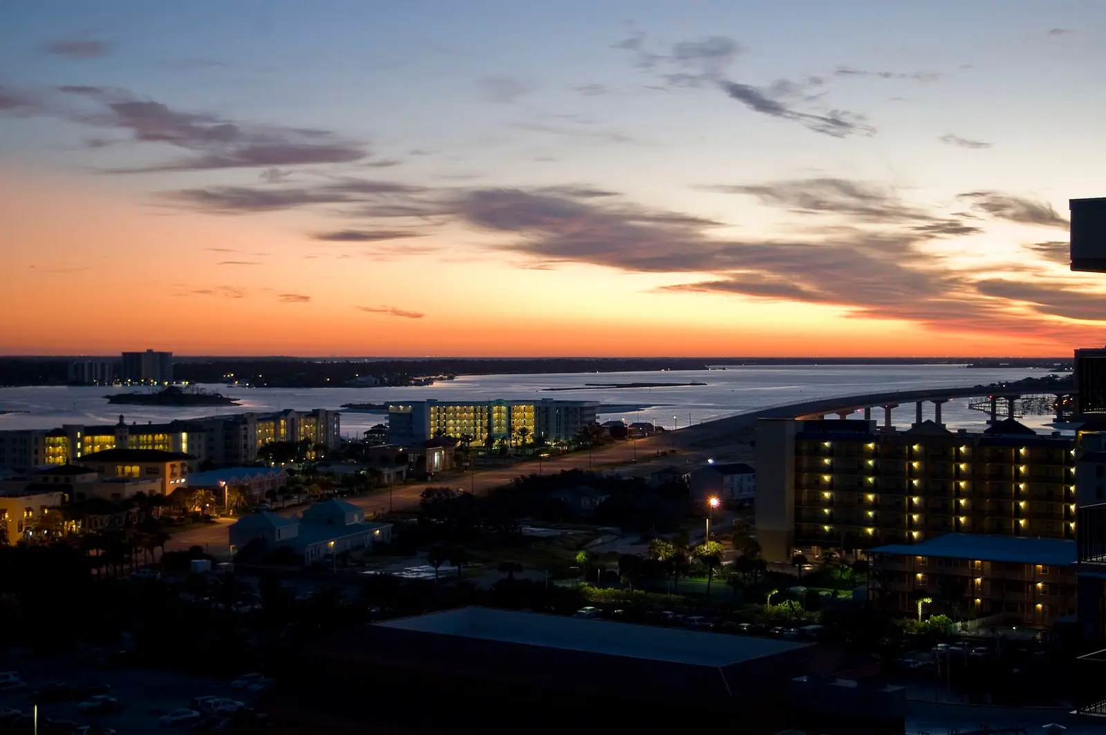
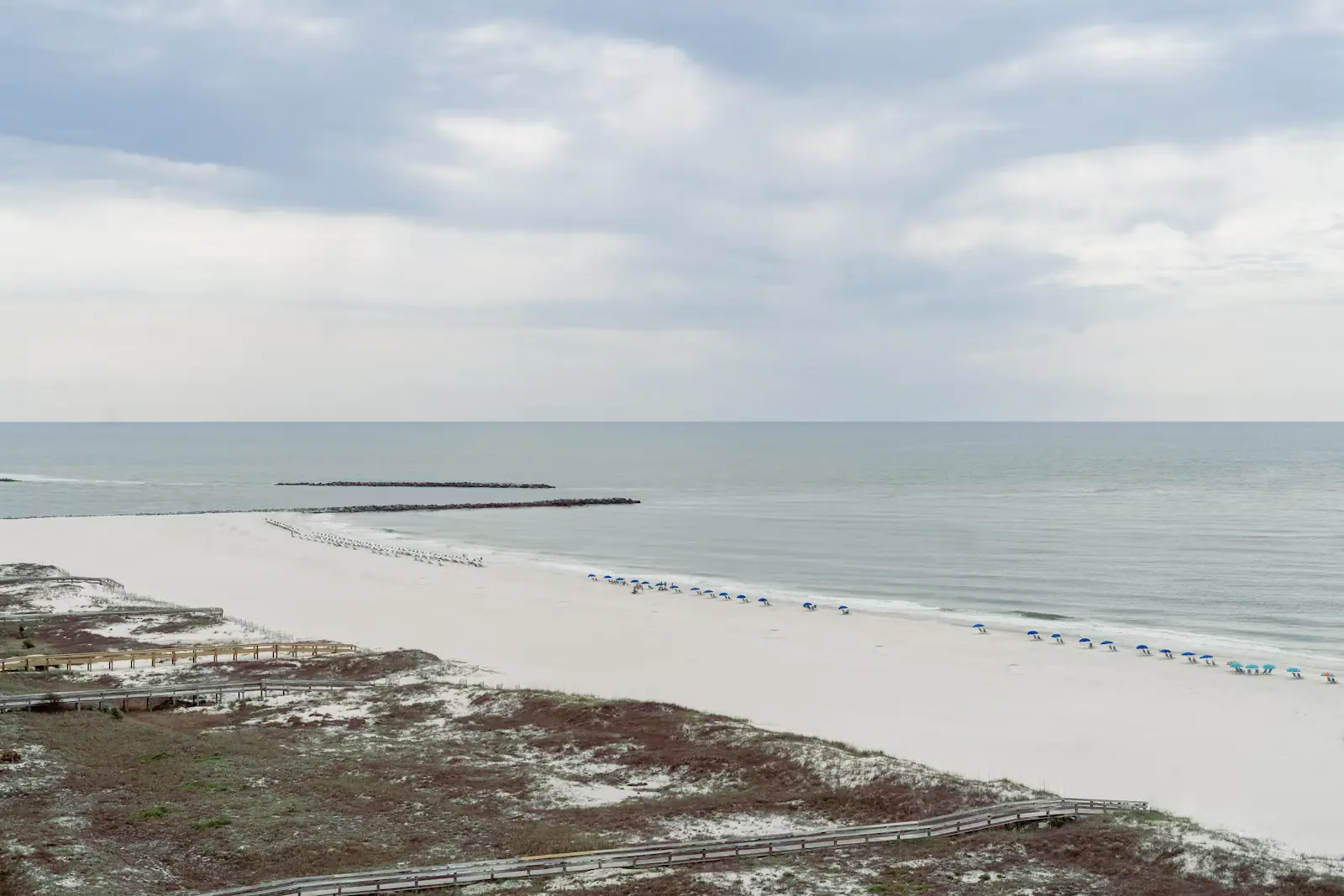
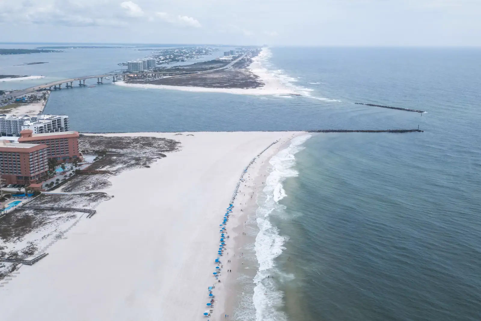
Alabama's coast is a continuous barrier strip with one opening in it. Perdido Pass is that opening: a channel between Alabama Point and Florida Point, a couple of miles west of the state line, where the whole back-bay system — Perdido Bay, Wolf Bay, Terry Cove, Old River and the Intracoastal Waterway behind them — finally reaches the Gulf of Mexico.
Left alone, a pass like this wanders. Sand moves west along this shore with the prevailing drift and closes gaps, which is why the channel was armoured with granite jetties through the 1960s and 1970s, one arm running out from either side. Those rocks are why there is a dependable channel at all, and by extension why Orange Beach has a charter fleet, a marina district and an economy that is not purely about renting condominiums.
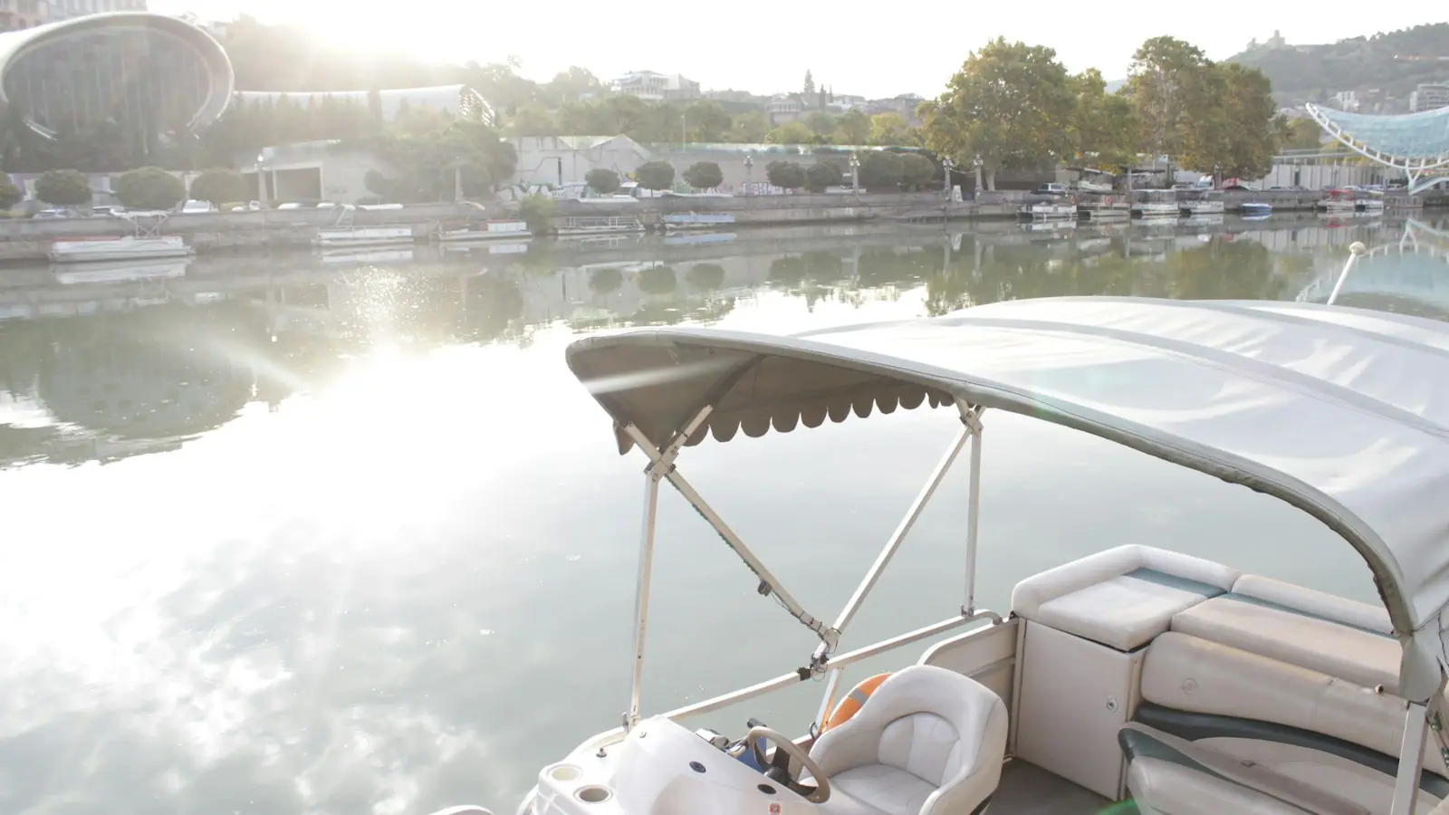
What that means in practice is that the pass is the busiest piece of water in the state. On a June morning, boats leave through it in a more or less continuous line from first light: offshore charters running for snapper, centre consoles heading out for the day, pontoons crossing to the flats, the occasional shrimper. Stand on the bridge or on the rocks and you can watch the entire working life of this coast pass beneath you in an hour. It is free, and it is better entertainment than most things here that are not.
It is also genuinely dangerous water. The current through a single gap draining that much bay runs hard on a moving tide, the channel edges drop away sharply, and hundreds of hulls a day are throwing wake through it. Fish here, watch here, photograph here. Swim on the open beach a few hundred yards west.
The pass sits at the eastern end of Perdido Beach Boulevard (Highway 182), where the road climbs over the channel on the Perdido Pass Bridge. From central Orange Beach it is a few minutes east; from the Highway 59 junction in Gulf Shores allow twenty to thirty minutes depending on the season.
Park at the Gulf State Park access at Alabama Point East on the western side, which charges the state park's flat daily vehicle rate, or at Shell Beach nearby. There is no free parking at the pass itself and the verges are not an option.
From Pensacola, come west along Perdido Key and the pass is the first thing you cross entering Alabama.
By boat, this is the only route between the back bays and the Gulf, which is why every marina in Orange Beach measures its location by how long it takes to reach here.
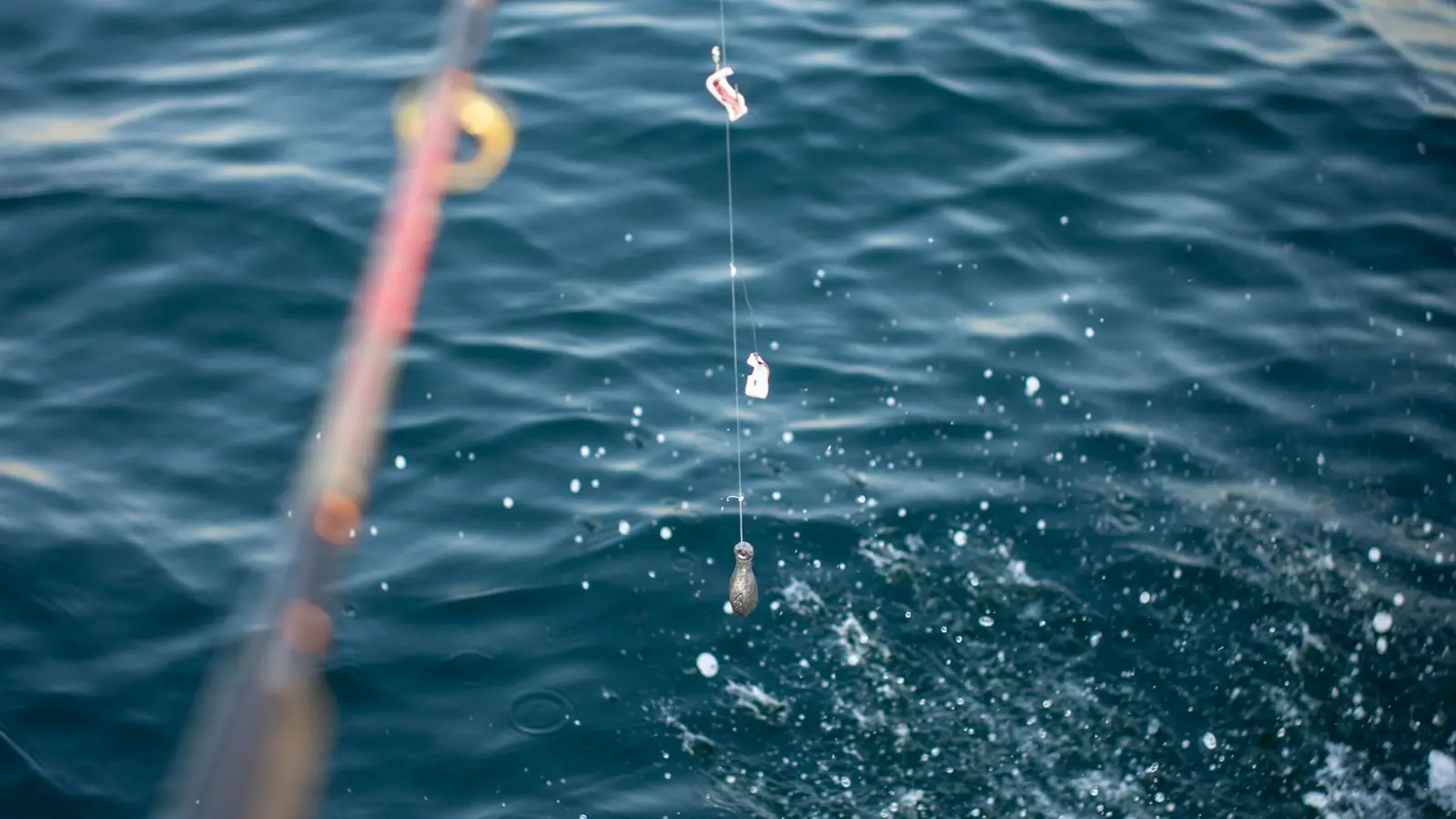
The jetties are the best shore-based fishing in Alabama and the most consistently productive place on this coast to catch something worth photographing without buying a boat trip.
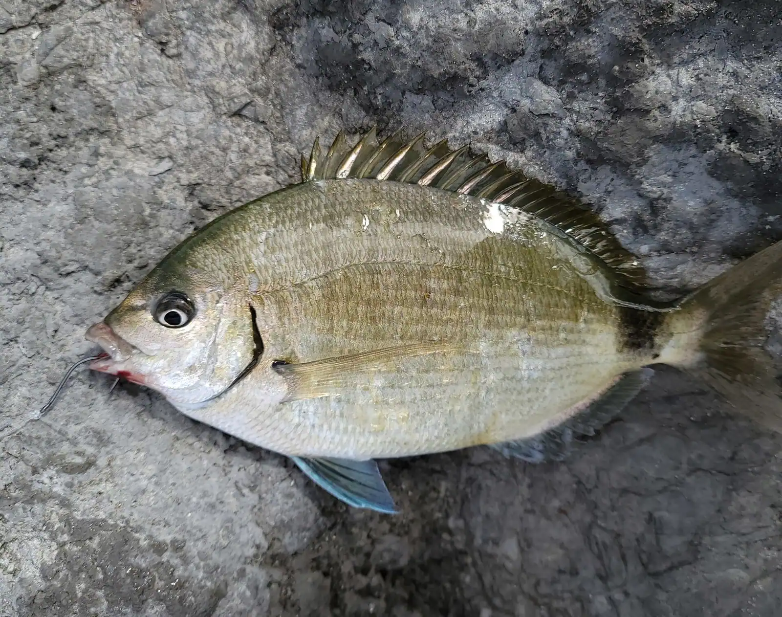
The mechanism is the usual one. Structure plus moving water equals bait, and bait brings everything else. Redfish and flounder hold along the rocks, sheepshead work the granite itself for barnacles and crabs, and Spanish mackerel run past the tips when the water is clear. On a strong incoming tide you are fishing a conveyor belt.
Practical advice from people who do it.
The pass is also fished heavily from boats holding station in the channel, which makes courtesy worth practising in both directions.
Come at six in the morning in June, park at the state beach access on the western side, and walk out to where you can see the channel. For the next hour, Alabama's entire offshore fleet goes past you.
There is a rhythm to it. The long-range charters leave first, before the light is properly up, because they have a two-hour run ahead of them. Then the smaller boats, then the rental pontoons, then by mid-morning everything else. In the late afternoon the sequence runs in reverse, with the returning boats riding lower and the pelicans following the ones cleaning fish.
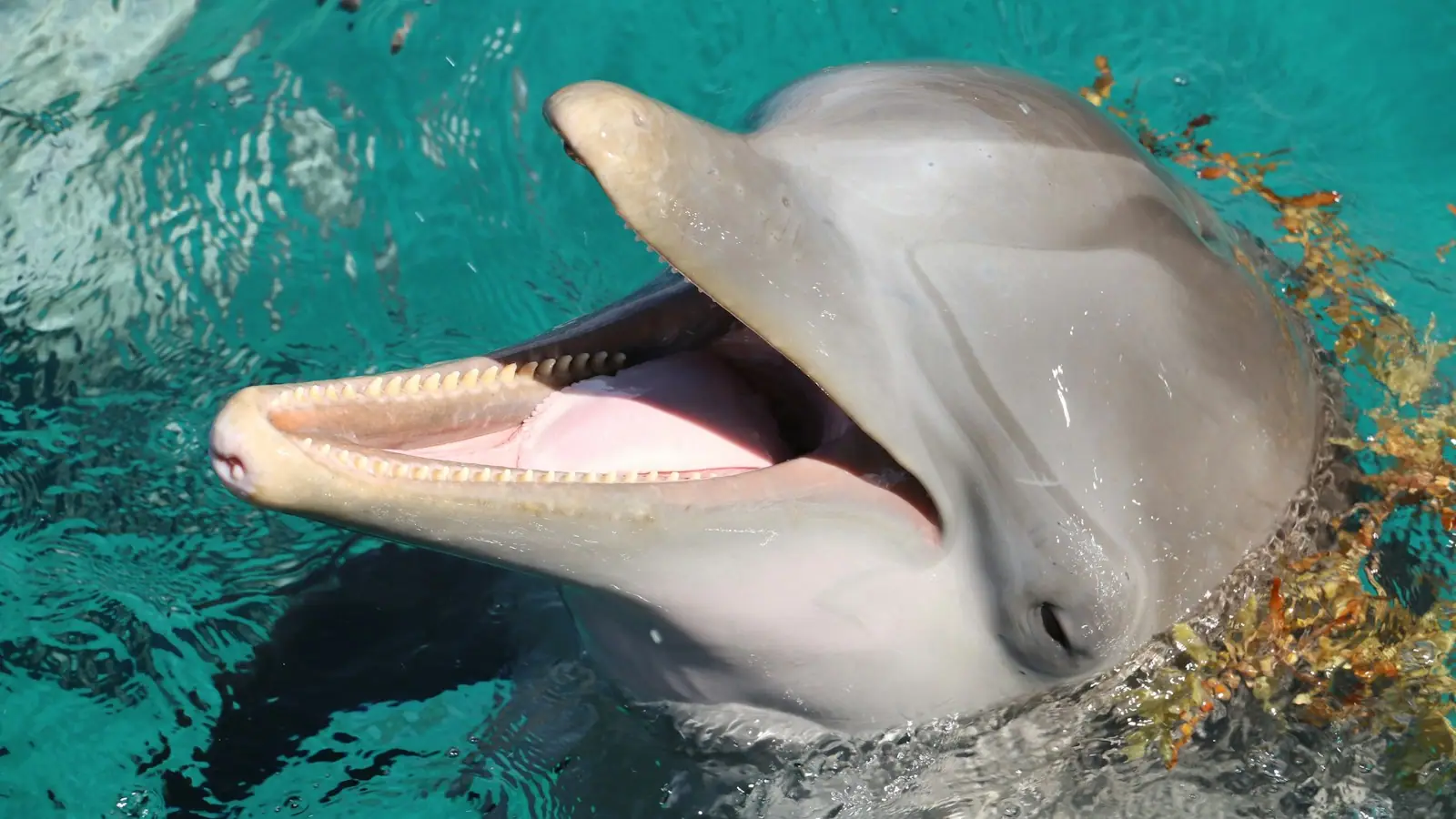
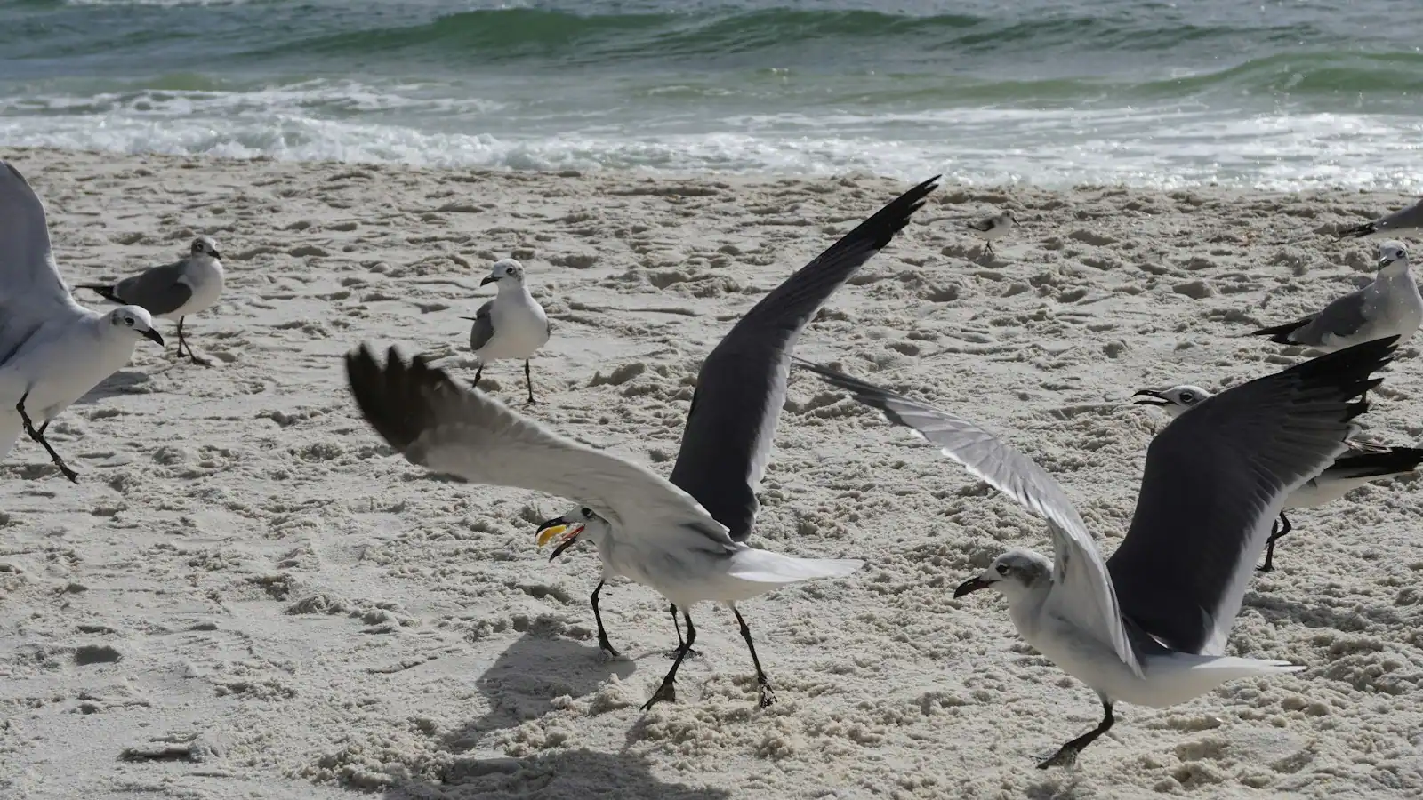
Dolphins work the pass on both tides and are seen here more reliably than almost anywhere else on the Alabama coast, because the bait concentrates at exactly the same place the boats do. Ospreys nest nearby. Terns and gulls follow the shrimp boats.
The bridge carrying the beach road over the channel gives the highest view and there is a pedestrian way, but be realistic about it: it is a working highway bridge with traffic, not an observation deck. The rocks and the beach either side are the comfortable places to stand.
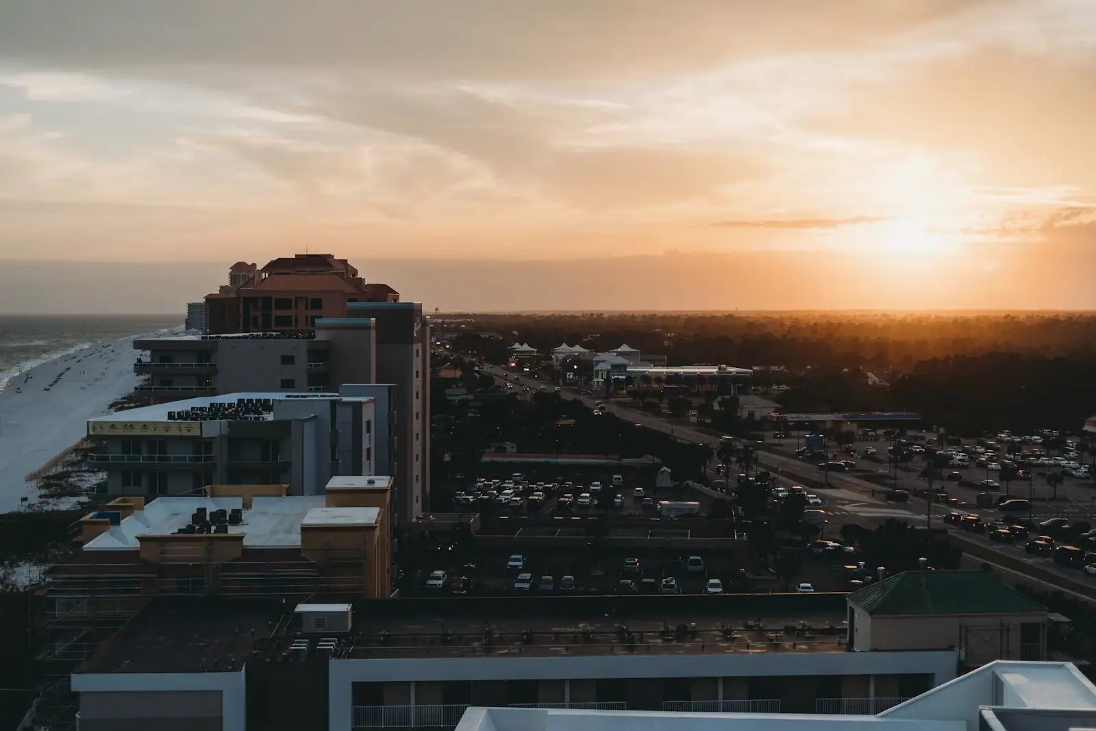
For photography, the hour after sunrise gives you light from behind you onto the outbound boats. In the evening the jetty tips silhouette nicely against a Gulf sunset.
This is the one paragraph on this page that matters more than the rest.
A single narrow cut draining a very large system of bays moves an enormous volume of water on every tide, and it does it through a channel with steep edges. Water at the pass can be running hard while the open beach a few hundred yards away looks calm, and the transition from standing depth to channel depth happens over a very short distance.
Add heavy boat traffic. In season, hundreds of vessels a day use this cut, many of them at speed, and their wake arrives at the rocks from several directions at once. A swimmer in the channel is difficult to see from a boat and impossible to avoid at close range.
Local and state advice is consistent and unambiguous: swim in the designated beach areas away from the pass, and treat the flags as instructions rather than information. Rip currents form near jetties, bars and structures for structural reasons, so the water immediately alongside the rocks deserves the same caution as the channel itself.
If you do get caught in a current that is taking you out, do not try to swim straight back to shore. Swim across it, parallel to the beach, until it releases you.
Children, inflatables and alcohol are three things this specific stretch of water has no tolerance for at all.
Operators run these trips past Perdido Pass, or stop there as part of a longer route. We list what the booking data supports — not everything that mentions the name.
These bookings go through Viator, and we are paid for them. Your price is the same, and the payment had nothing to do with the picks.

Explore the waters of the Bon Secour National Wildlife refuge on this guided tour which includes a land and water lesson on how to paddle…
1–2 hours
Prices checked

Cruise through the beautiful Hugh S. Branyon Backcountry on a Segway tour designed for exploration and family fun. This 2-hour guided Eco…
2–3 hours
Prices checked

Experience a selection of the best attractions in Mobile/ Dauphin Island/ Spanish Fort/ Theodore - all in one money saving ticket! This…
1 day
Prices checked

Do more as you experience a selection of the best attractions in Gulf Shores/ Orange Beach/ Foley/ Spanish Fort, all on one money saving…
1 day
Prices checked

Discover the best of Gulf Shores, AL, on an exciting self-guided tour and scavenger hunt! Explore beautiful beaches, historic landmarks…
2 hours
Prices checked

⭐ Top-Rated Vacation Photoshoots 2025 We’re not just photographers, we’re storytellers capturing your holiday exactly as it feels. With…
1 hour
Prices checked
Straight-line distances, so allow more on the road — the island is long and has one main parkway.

Six thousand feet of beach beside the only rock on the Alabama coast, and the fastest water in the state running past the end of it.
2–7 hoursFree to use. Parking at the state-run east access is charged at the Gulf State Park beach rate, fifteen dollars a day for a car in 2026.0.2 mi away

Alabama's other beach city: nine thousand people, a maze of back bays and the only cut from those bays to open Gulf water.
3–10 hoursFree to visit. Beach parking is charged at both city and state park accesses.1.2 mi away

The Orange Beach access at the foot of Highway 161, with dune boardwalks, a state-park pay kiosk and no view of the bayou it is named for.
2–6 hoursFree to walk on. Parking is charged by Gulf State Park: fifteen dollars a day for a car in 2026, with an annual pass sold separately.0.7 mi away

A state park beach access with an Orange Beach address, which means state parking rules, not city ones, and a 1920s name nobody explains.
1.5–5 hoursFree to walk on. Parking is the Gulf State Park flat daily vehicle rate, recently around $15.2.5 mi away
Where this place fits into a day, and the pages that plan one.

Almost everyone who books a holiday on Alabama's coast has the same moment of confusion, usually about two weeks out, usually while looking at a…

Alabama's coast is two bodies of water stacked one behind the other, and that is the single fact that decides how you should go looking for dolphins…

The seabed off Alabama is mud and sand. That sounds like bad news for anyone who came here to catch a reef fish, and for most of recorded history it…

Look at a map of Alabama's coast and the thing that should catch your eye is not the beach. It is the line running parallel to it a mile or so…

The beach in Gulf Shores costs nothing. Standing next to it in a car costs money, and that single distinction is what decides whether a week here is…

Two cities, one beach, eight miles apart, with a state park in between. The sand is identical and the weather is identical, so the choice comes down to whether your week has a boat in it.
8 min readBrandi Cochran

The sand runs the same for thirty miles, so choosing a beach here is not an aesthetic decision. It is a decision about parking, restrooms and how far you are willing to carry a cool box.
8 min readYvonne Ramsey

Alabama has about thirty-two miles of coastline and this is all of it. Once you understand that the towns sit on an island with a state park in the middle, the rest of the week arranges itself.
8 min readBrandi Cochran
You should not. The pass is the only cut between Alabama's entire back-bay system and the Gulf, so the current through it runs hard on a moving tide, the channel edges drop away sharply, and hundreds of boats a day pass through in season. Local and state advice is to use the designated beach areas away from the pass. Swim on the open sand a few hundred yards west instead.
To stop it closing. Sand moves along this shore with the prevailing drift and would otherwise silt the channel up, so the pass was stabilised with granite jetties through the 1960s and 1970s, one arm from each side. Those rocks are the reason there is a dependable navigable route between the bays and the Gulf, and therefore the reason Orange Beach has a marina district and a charter fleet at all.
Yes, and it is the best shore fishing in Alabama. Redfish and flounder hold along the rocks, sheepshead feed on the barnacles and crabs growing on the granite, and Spanish mackerel run past the tips in clear water. Fish the hour either side of a tide change. Wear grippy footwear, because wet barnacled rock is treacherous, and stay off the jetties entirely when there is any swell running.
At the Gulf State Park beach accesses on the western side — Alabama Point East, or Shell Beach nearby — which charge the state park's flat daily vehicle rate rather than an hourly city fee. There is no free parking at the pass itself, and the verges along the beach road are not an option. From those car parks it is a short walk to the shoreline and the jetty approach.