Skip to content
Search
Menu

These bookings go through Viator, and we are paid for them. Your price is the same, and the payment had nothing to do with the picks.

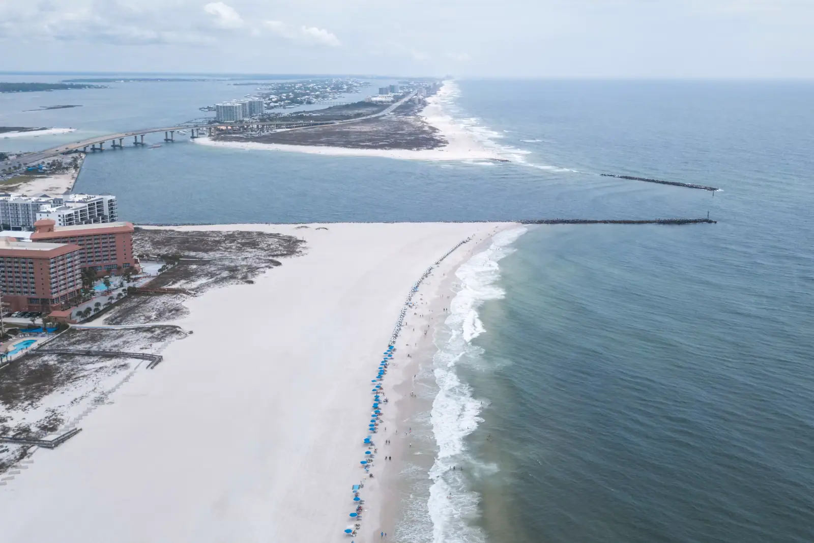
Aerial view of a narrow tidal pass cut between two low sandy shorelines
Constitutional Convention, State of Alabama

Beach

Alabama Point

Last updated

Six thousand feet of beach beside the only rock on the Alabama coast, and the fastest water in the state running past the end of it.

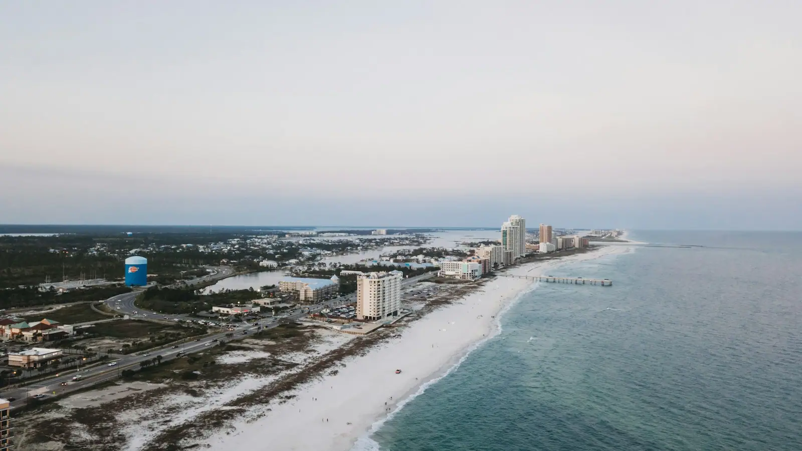
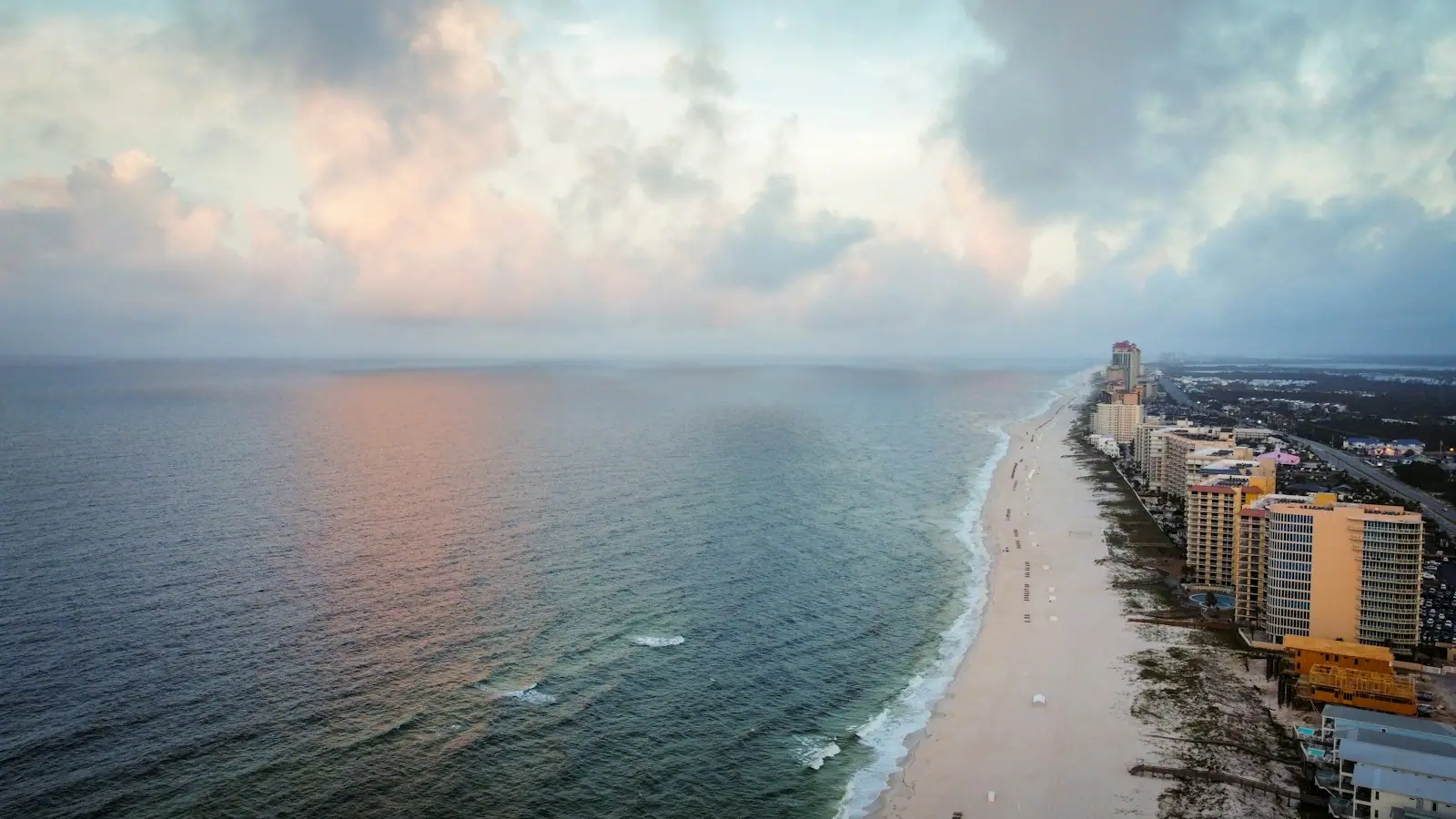
Alabama Point is the beach on both banks of Perdido Pass, at the far eastern end of Orange Beach where the state runs out. It is the best public sand in the two towns and the most dangerous water, and the two facts are the same fact.

Start with the pass, because it is not natural and it is not where it used to be. In early 1906 local residents dug a new inlet about two miles west of the original one. A hurricane that same year widened the cut, the old pass silted shut, and the water has run through the new one ever since. When Alabama and Florida finally settled their boundary in 1953 they fixed it at the site of the original inlet, which is why the state line now sits in the sand east of the water everyone calls Perdido Pass.

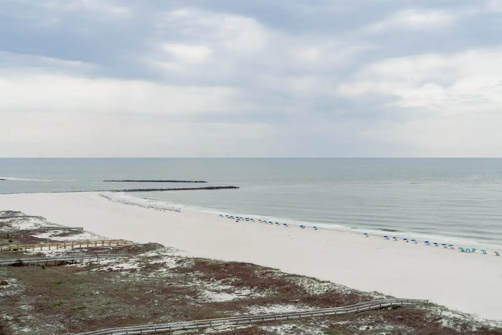
Two rock structures hold it open. A jetty on the west side, and on the east a combination weir and jetty whose crest sits roughly six inches below mean low water, so at low tide there is a wall of rock under the surface that looks like open water. Longshore drift on this coast runs westward, piling sand on the east side and stripping it from the west, which is why the Army Corps and the city dredge and pump here on a cycle rather than once.

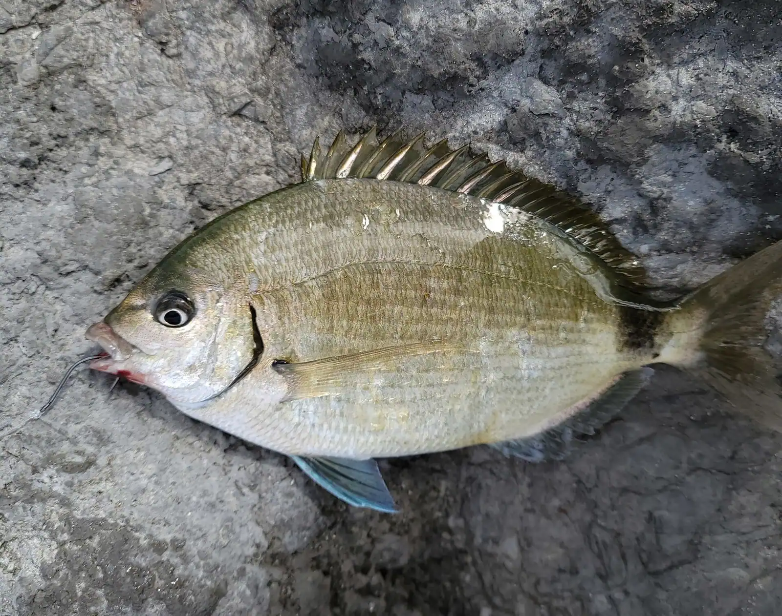
What that gives a visitor is unusual. Everywhere else in Alabama the bottom is sand, sand and more sand. Here there is structure, and structure means fish. Snorkellers work the inside of the rocks in maybe twenty feet of water and find sheepshead, spadefish and small snapper holding against the current. Anglers line the granite. And every charter boat, pontoon and jet ski in Orange Beach has to funnel through the gap between the two jetties to reach the Gulf, so on a Saturday in July the pass is the busiest hundred yards of water in the state.

Getting there and parking

Follow Perdido Beach Boulevard, Alabama Highway 182, east through Orange Beach until the road climbs the high bridge over the pass. The east access is signed about a third of a mile past the bridge; the west access is on the near side, before you climb.

From Gulf Shores it is around twenty-five minutes on a normal day. From the Florida line at Perdido Key it is a short run west, and plenty of visitors staying in Pensacola make the drive for this beach alone.

There is no way to switch sides on foot once you have parked. The bridge has traffic lanes and no comfortable pedestrian route, so decide east or west before you commit and drive round if you change your mind.

Boat traffic reaches here from Terry Cove and the back bays through the pass itself; there is no public dock at the beach.

East side, west side: which one you actually want

They are two different places with one name, separated by a bridge you cannot walk across comfortably.

Alabama Point East is the main event and the one signposted from the highway. More than six thousand feet of beach running east towards the Florida line, boardwalks over the dune, restrooms, outdoor showers, picnic shelters and a plaque board naming the wildlife. It is a Gulf State Park access, so the state parking charge applies. Orange Beach Fire Rescue stocks a free life jacket loaner board here, sizes from infant to adult XL, funded through a Sea Tow Foundation grant. You borrow one for the day and hang it back on the rack when you leave, and if you have a child who is a marginal swimmer it is the single most useful free thing on this coast.

Alabama Point West is smaller, rougher and closer to the boat traffic. It is the side birders work, because the point collects migrants and the water attracts terns, skimmers and gulls in numbers. Parking is tighter and the walk to the jetty is shorter.

For a family day, go east. For an hour with binoculars or a rod, west is fine. For swimming, stay well away from the rocks on either side.

Snorkelling the jetty rocks

This is the only shore-accessible rock habitat in Alabama, which makes it the only place in the state where snorkelling from the beach is genuinely worth the effort. Divers put the depth around the inside of the rocks at roughly twenty to twenty-five feet.

What holds there: sheepshead grazing the barnacles, spadefish in loose schools, small red snapper and mangrove snapper tucked into the gaps, occasional flounder on the sand at the base. Rays cross the shallows. Visibility is the variable, and it is entirely a function of what the wind has been doing. After two or three calm days with a light offshore breeze the water clears up enough to be worth getting in. After a blow it is green soup and there is no point.

Go on a slack tide, near the top or the bottom, and stay on the inside of the rocks in the beach-side corner rather than anywhere near the channel. Wear something on your feet. The granite is sharp, encrusted and slick, and the cuts it gives you in warm Gulf water are worth taking seriously.

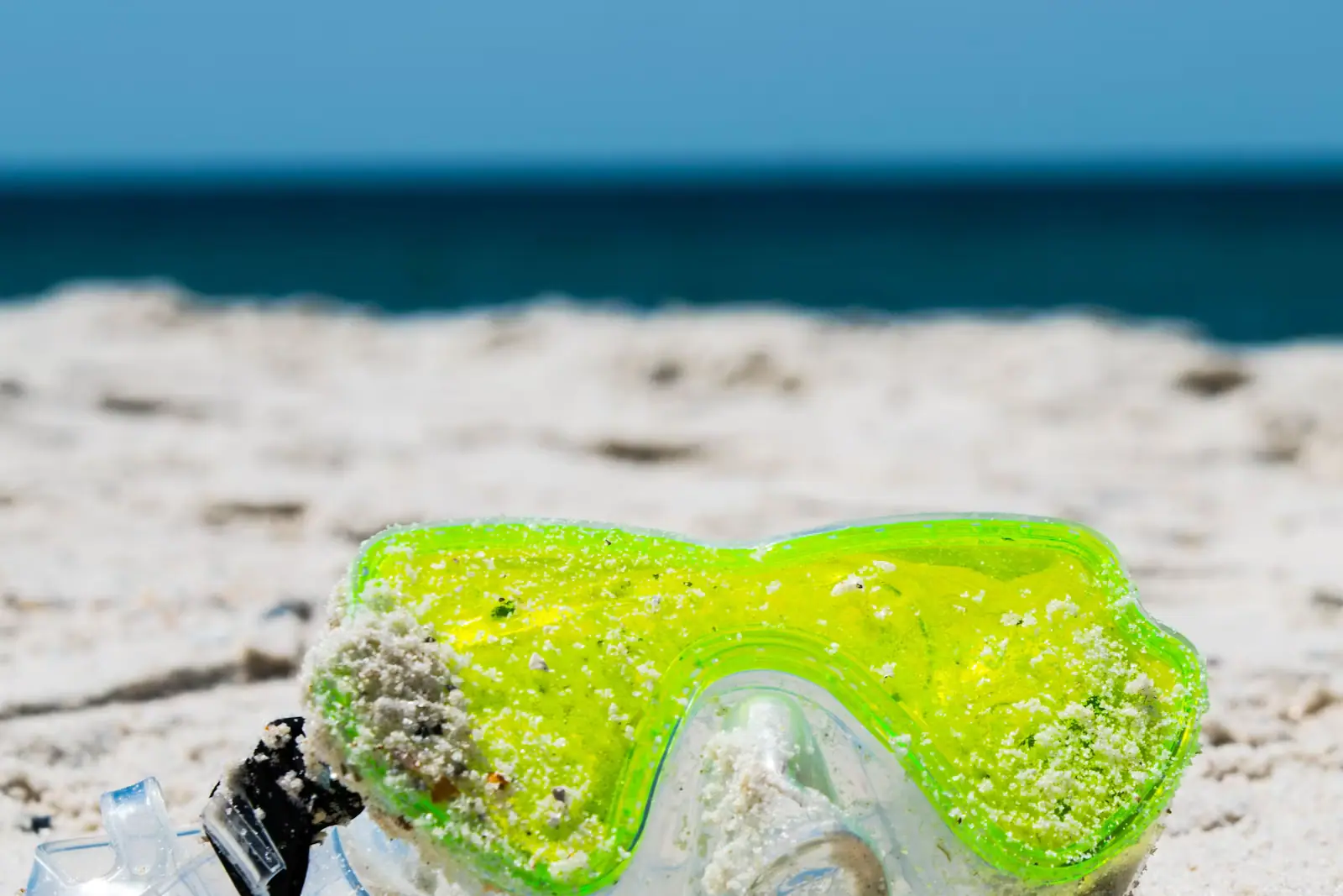
Nobody rents snorkel gear at the beach. Bring it, or pick it up in Orange Beach before you drive out.

The current, the weir and why people get into trouble here

A tidal pass is a funnel. Every cubic foot of water leaving Perdido Bay, Wolf Bay, Bay La Launch and the back bays on a falling tide has to get through one gap, and it moves fast enough that a competent adult swimmer cannot make headway against it.

That produces the classic accident on this coast: somebody swims near the mouth of the pass, gets taken sideways and then seaward, panics and tires. Do not swim in the pass. Not on either side of the bridge, not at slack water, not to reach the end of the rocks.

The east structure is a weir as well as a jetty, and its crest sits about six inches under the surface at mean low water. That means an apparently open stretch of green water between the beach and the visible rock is in fact rock. People run boats onto it every season, and waders walk off it.

Two more. The rocks are wet, sloped and covered in barnacles, and walking out along them in flip-flops is how the local emergency room fills up in July. And this is a working channel: charter boats leave before dawn, come back in the afternoon and are not looking for swimmers.

Check the flags at the access as you would anywhere on this coast. The double red closure is an ordinance offence in Orange Beach, not advice.
Parking, facilities and when to come

Alabama Point East is Gulf State Park land, so you pay the state beach parking rate, which rose to fifteen dollars a day for a car on 1 January 2026. Kiosks take cash and card and do not give change, and there is a plate-entry option via a QR code on the machine. The annual pass, at around two hundred dollars, is bought at park headquarters inland rather than here.

The lot fills. It sits at the end of a long run of highway with nothing else on it, and by mid-morning on a summer weekend cars circle. Early is the only strategy that works.

Facilities are basic and good: restrooms, outdoor showers, covered picnic tables, boardwalks with steps. Nothing is sold. No shade on the sand at all.

The best time to be here is not July. April and May give you warm water, clearer conditions and a fraction of the people. Late September and October are the local secret, with Gulf water still in the eighties and the parking problem gone. Winter mornings are for birders and anglers, and the point is one of the better places in Alabama to stand with a pair of binoculars.

Near Alabama Point

Straight-line distances, so allow more on the road — the island is long and has one main parkway.

  • Aerial view of a narrow tidal pass cut between two low sandy shorelines
    Free
    Water feature

    Perdido Pass

    The only gap in thirty-two miles of Alabama barrier coast, armoured with granite, and the wrong place to let anyone swim.

    1–3 hoursFree to visit. Parking at the adjoining Gulf State Park beach accesses is charged per vehicle per day.0.2 mi away

  • Sea oats on a low dune with a strip of white sand and bright turquoise water behind
    Free
    Beach

    Cotton Bayou Beach

    The Orange Beach access at the foot of Highway 161, with dune boardwalks, a state-park pay kiosk and no view of the bayou it is named for.

    2–6 hoursFree to walk on. Parking is charged by Gulf State Park: fifteen dollars a day for a car in 2026, with an annual pass sold separately.0.9 mi away

  • Aerial view of dozens of small boats anchored together over a pale shallow sandbar
    Free
    Nature preserve

    Robinson Island

    A twelve-acre island the city bought to stop anyone building on it, reachable only by boat and now closed in the middle for nesting birds.

    2–6 hoursFree to land on. Getting there is the cost: a boat rental, a charter seat or your own trailer.0.4 mi away

  • Rows of boats moored in a marina basin on flat water in early morning light
    Free
    Neighbourhood

    Orange Beach

    Alabama's other beach city: nine thousand people, a maze of back bays and the only cut from those bays to open Gulf water.

    3–10 hoursFree to visit. Beach parking is charged at both city and state park accesses.1.4 mi away

Alabama Point: common questions

Can you swim at Alabama Point?

Yes on the open beach, but not in Perdido Pass itself. The pass drains Perdido Bay, Wolf Bay and the back bays through one gap, and on a falling tide it runs faster than an adult can swim against. Keep well east of the east jetty or west of the west one, check the flags at the access, and remember that the double red flag closure is a city ordinance offence in Orange Beach rather than a suggestion.

Is snorkelling good at the Alabama Point jetties?

It is the best shore snorkelling in Alabama, which is a low bar the jetties clear easily. The granite is the only rock habitat on a coast made entirely of sand, and sheepshead, spadefish and small snapper hold against it in roughly twenty feet of water. Visibility depends entirely on recent wind. Go after two or three calm days, stay on the beach side of the rocks, and wear something on your feet.

Why is the Alabama and Florida state line not at Perdido Pass?

Because the pass moved. In early 1906 residents dug a new inlet about two miles west of the original one, and a hurricane that year widened it while the old pass silted closed. When the two states finally settled their boundary in 1953 they fixed it at the site of the original inlet. The line therefore runs through sand east of the modern pass, which is also why the Flora-Bama sits where it does.

How much is parking at Alabama Point?

Alabama Point East is a Gulf State Park access, so the state beach parking charge applies: fifteen dollars a day for a car in 2026, up from ten, with higher rates for trailers and buses. The kiosks accept cash and cards but give no change, and there is a licence-plate payment option by QR code. An annual pass is sold at park headquarters. Check the posted rate, which moves between seasons.