Skip to content
Search
Menu

These bookings go through Viator, and we are paid for them. Your price is the same, and the payment had nothing to do with the picks.

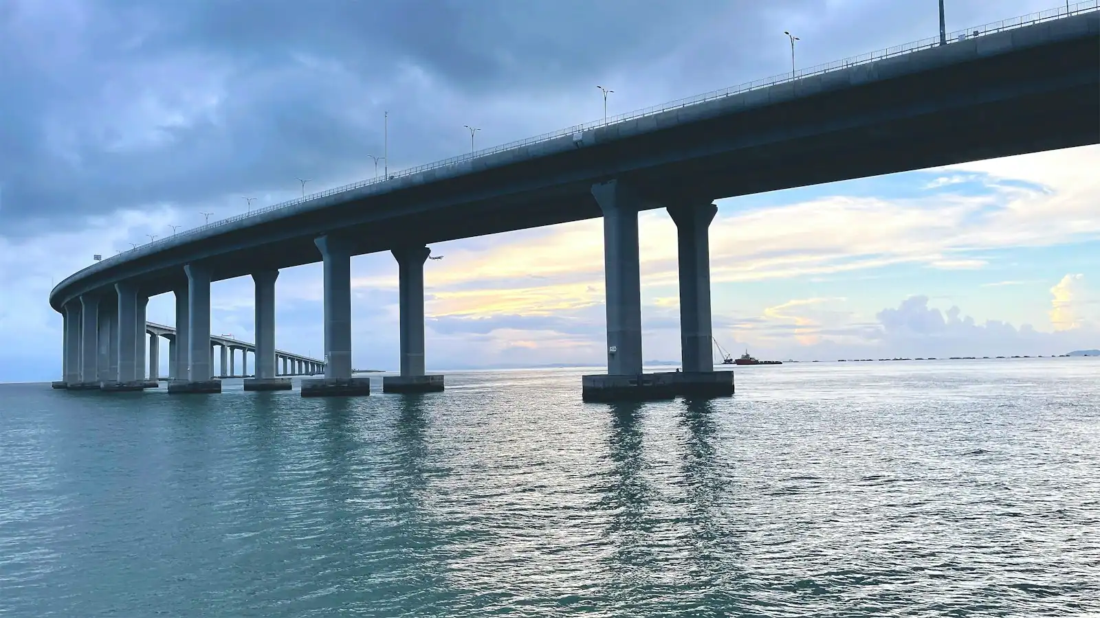
A long causeway bridge crossing open water towards a low shoreline
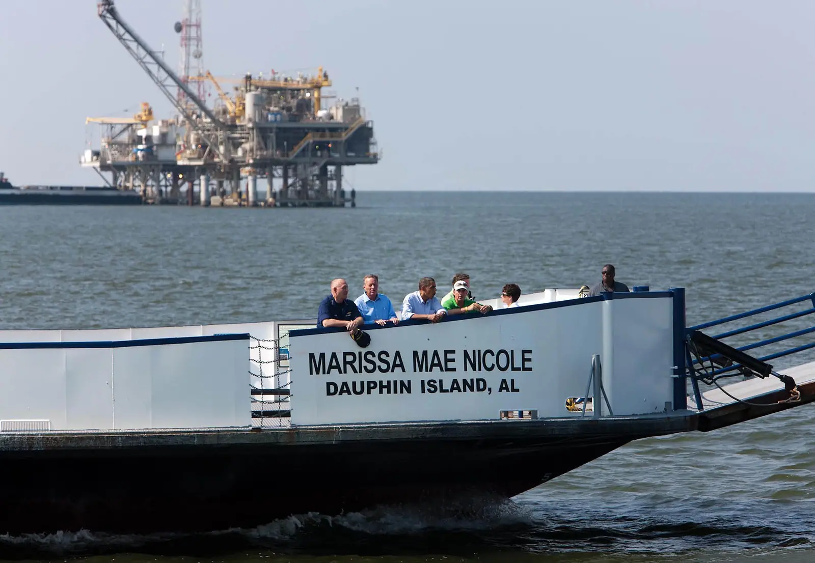
Official White House Photo by Chuck Kennedy

Landmark

Dauphin Island

Last updated

Fifteen miles of barrier island with 1,778 residents, a Civil War fort and a continental flyway, across the water from Fort Morgan.

Stand at Fort Morgan, at the end of the peninsula west of Gulf Shores, and look across the mouth of Mobile Bay. The low green line on the other side is Dauphin Island, and it is the most useful day trip on this coast precisely because it is nothing like the coast you are staying on.

It runs about fifteen miles east to west and is less than a quarter of a mile wide for most of that. The eastern end is wooded, with pine and saw palmetto growing in real shade; the western end is a thin sandy spit with houses on stilts and very little else. The 2020 census counted 1,778 residents. There is no condominium wall, no beach road strip, no water park and no tower blocking the sunset, which after a week in Gulf Shores is either a relief or a shock depending on your temperament.

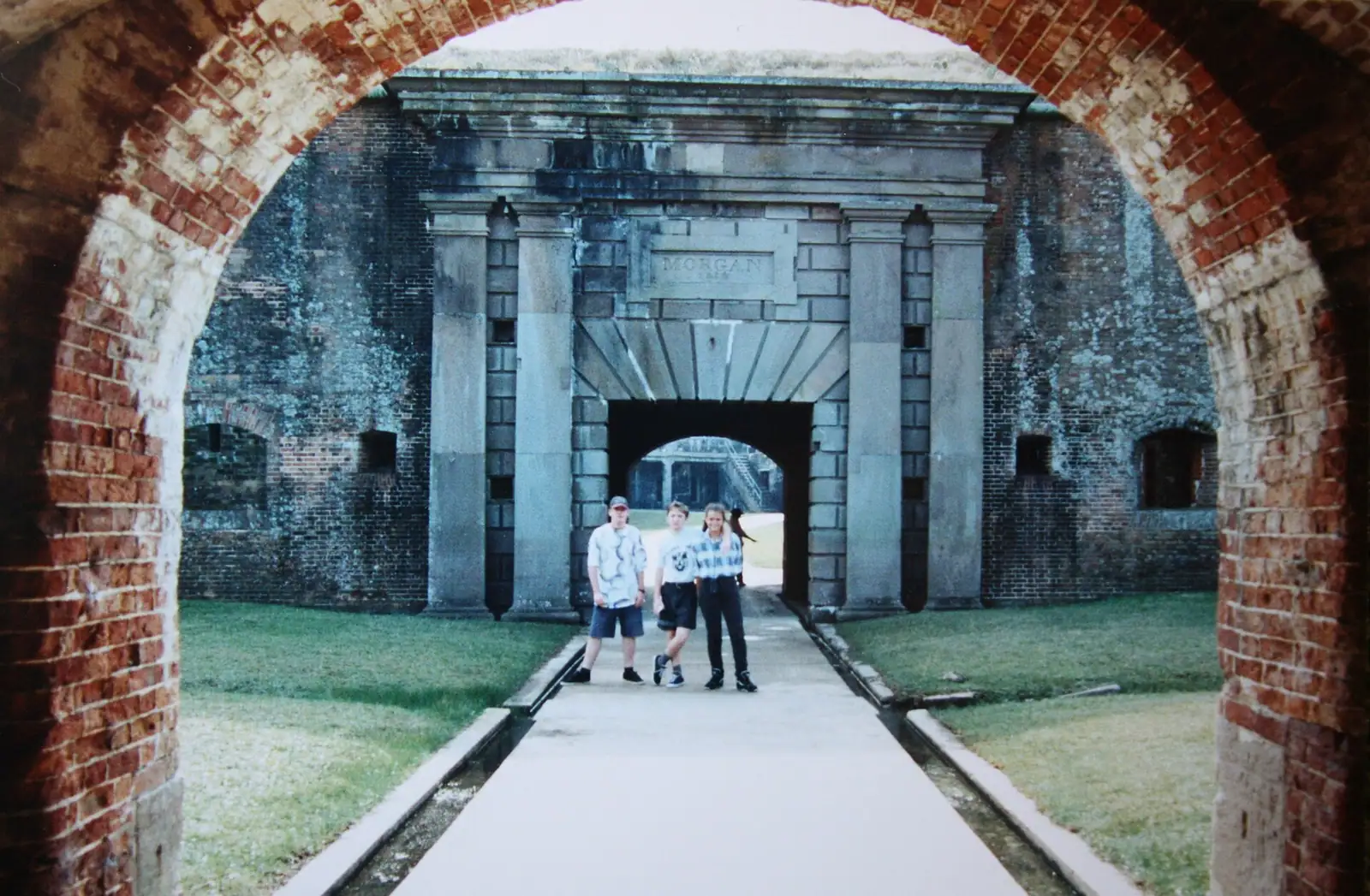
The history is older than anything in Baldwin County. A French expedition under Iberville arrived in 1699 and named it Île du Massacre after finding a heap of human bones, later understood to be a disturbed Mississippian burial mound rather than evidence of any massacre. By about 1707 the name had been changed to honour the French heir, and the island has been Dauphin ever since. Fort Gaines, on the eastern tip, was built between 1821 and 1848 and spent August 1864 at the centre of the Battle of Mobile Bay.

Two things shape how you plan the day. The first is the Mobile Bay Ferry, which runs between Fort Morgan and the island and turns a two-hour drive around the top of the bay into a short crossing. The second is that the ferry does not always run. Check it before you build a day on it.

Getting there and parking

Two options and a large difference between them.

The ferry is the good one. Drive west from Gulf Shores along Alabama 180, the Fort Morgan Road, roughly forty-five minutes to the terminal at the end of the peninsula, and cross the mouth of Mobile Bay with or without your car. Check the day's schedule and that service is running before you set out, because the crossing is the whole plan.

The road is the fallback. North to Foley, west on the interstate around the top of Mobile Bay, through Mobile, then south for close to thirty miles on Alabama 193 over the Gordon Persons Bridge. Around two hours each way in normal traffic, and more on a Friday afternoon around Mobile.

Once you are on the island, a car is useful. It is fifteen miles long, the sanctuary is at one end and the west end goes on for a while, and there is no public transport of any kind.

The ferry is the trip, so check it first

From Gulf Shores there are two ways to reach Dauphin Island, and they are not comparable.

By ferry: drive west along the Fort Morgan peninsula to the terminal at the end, roughly forty-five minutes from Gulf Shores, and cross the mouth of Mobile Bay. The crossing itself is part of the appeal, with the fort behind you, ships moving in the channel and dolphins in the wake more often than not.

By road: north out of Gulf Shores, around the top of Mobile Bay, through Mobile, then south for the better part of thirty miles on Alabama 193 across the Gordon Persons Bridge. Budget two hours each way.

The ferry runs year-round on seasonal schedules, takes vehicles and foot passengers, and suspends service in strong winds or heavy seas, with figures around thirty-five miles an hour of wind or six feet of sea commonly cited. It also closes for some public holidays, and there have been longer interruptions. None of that is unusual for a small vehicle ferry. All of it means the same thing: confirm it is running, and confirm the day's timetable, before you leave.

Arrive early for a vehicle crossing in summer. Sailings fill and there is no standby guarantee.
Fort Gaines and the Battle of Mobile Bay

The fort sits on the island's eastern tip, looking straight down the channel at Fort Morgan on the far shore. Between them they were meant to close the mouth of Mobile Bay to any hostile fleet, and in August 1864 they failed to.

The battle is the one most Americans know a fragment of. Admiral Farragut took a Union fleet through the channel, through the mined water that the period called a torpedo field, and the line attributed to him has outlived almost every other detail of the engagement. Fort Gaines surrendered days later. Fort Morgan held out a little longer.

What survives is a brick coastal fort you can walk through largely unsupervised: the tunnels connecting the bastions, the cannon on their carriages, a blacksmith's shop, a museum and a gift shop. Self-guided is the normal way round it, and an hour is enough unless you are the sort of person who reads every panel.

Take water and a hat. The parade ground is open, the brick holds heat, and there is very little shade inside the walls in July.

Erosion is a live issue here. The sea has been taking the ground at the fort's eastern side for years and stabilisation work has been an ongoing story, so expect construction or closed sections.

Why serious birders plan whole trips around this island

Dauphin Island is one of the significant migration stopovers in North America, and it is not a tourism-board line. Songbirds crossing the Gulf from Yucatán make landfall on the first solid ground they meet, and for a great many of them that first ground is here.

In a good spring fallout, when a northerly front meets birds arriving exhausted over open water, the maritime forest fills with warblers, tanagers, buntings and orioles at close range. People fly in for it. The island has repeatedly been named among the birdiest places in the country in organised counts.

The Audubon Bird Sanctuary covers around 164 acres on the wooded eastern end, with maritime forest, freshwater swamp, dunes and marsh in a very small compass, and a boardwalk through the wet sections that keeps your feet dry and your noise down.

April is the month. Late March to early May is the window. Autumn passage is quieter and more spread out but still good.

Practicalities: go early, take insect repellent seriously, and do not expect facilities in the sanctuary. It is free, and it is the single best reason to come here that has nothing to do with a beach.

The Estuarium, and the pier that ended up on land

  • The Estuarium is the public aquarium at the Dauphin Island Sea Lab and it is unusually focused: rather than parading tropical fish, it explains the Mobile-Tensaw delta and the estuary system that drains a huge chunk of the American South into this bay. There is an outdoor stingray touch tank, which is what children remember. Allow an hour to ninety minutes. It is indoors and air-conditioned, which makes it the island's rainy-day answer.
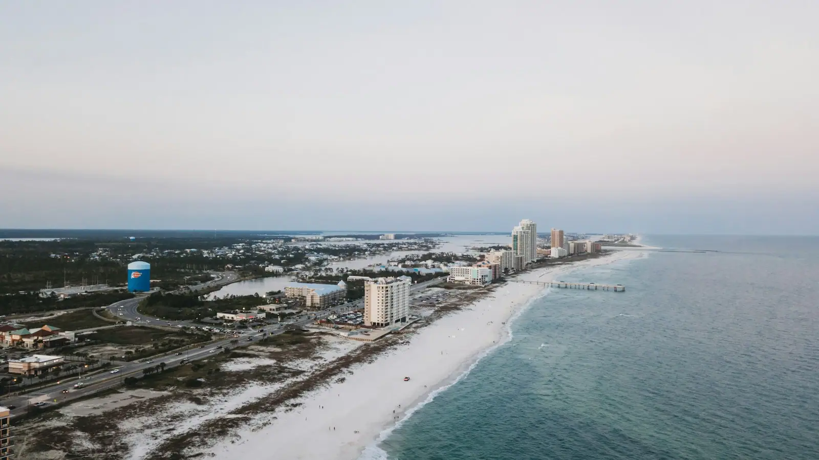
  • The fishing pier is now on dry land. The island's roughly 850-foot pier has been left high and dry by the migration of Pelican Island into the public beach shoreline, and has been reconfigured for walking and picnicking rather than fishing, with steps at the far end down to the Gulf shore. It is a genuinely strange thing to see and a good illustration of how mobile this coastline is.
  • East End Landing has public boat launches and a shorter pier running into the mouth of Mobile Bay, which is where people fish now.
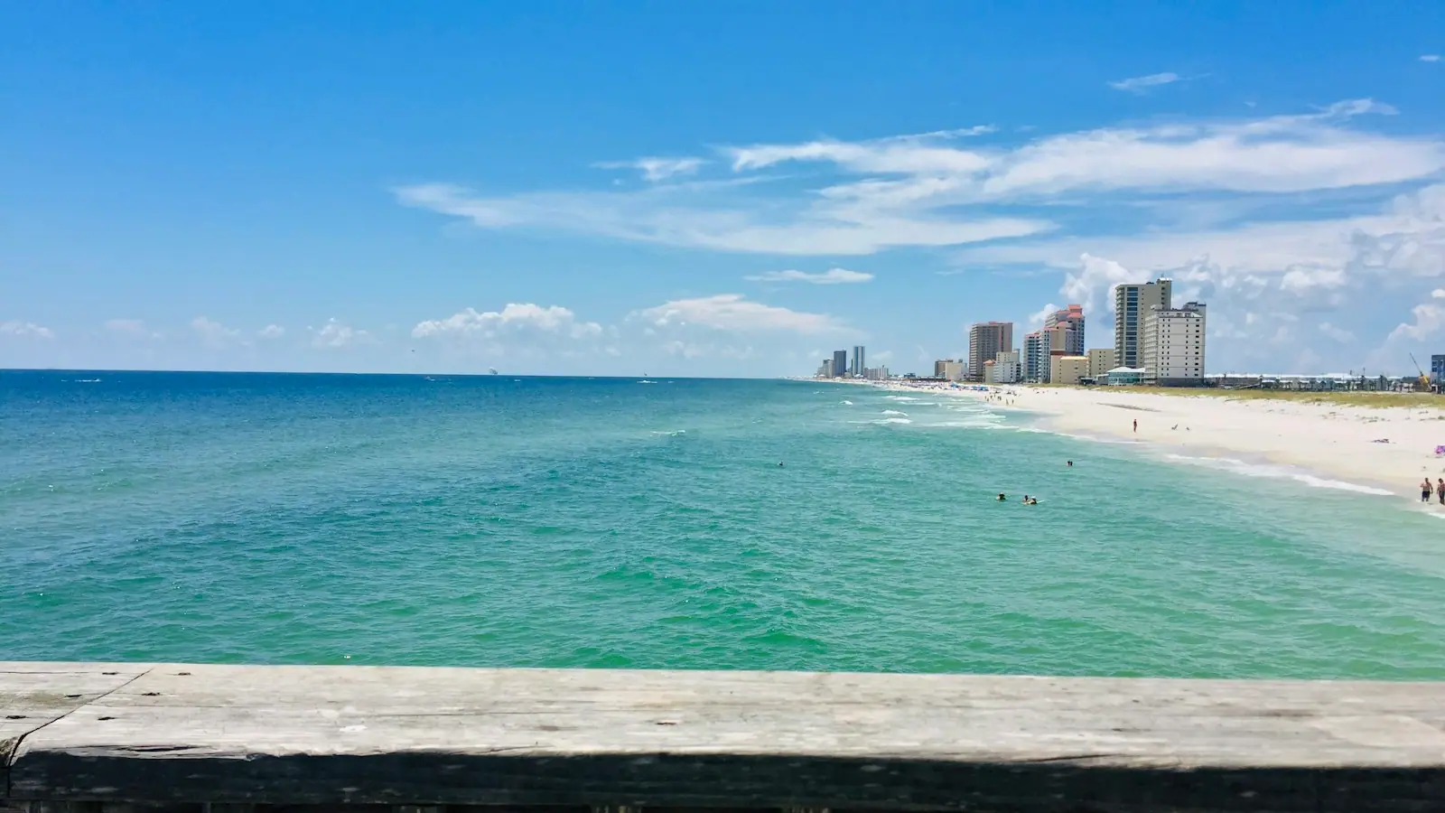
  • The public beach is wide, quiet and free, with none of the Gulf Shores parking apparatus.
  • Bring food or check opening. This is an island of under two thousand people; restaurants are few and seasonal.

An island that storms keep redrawing

Barrier islands move. This one has moved a great deal within living memory, and the evidence is visible from the road.

Hurricane Frederic in 1979 destroyed the bridge that connected the island to the mainland, cutting it off entirely until a replacement was built. The Gordon Persons Bridge that carries Alabama 193 today is that replacement, and it is still the only road on or off.

Hurricane Katrina in 2005 did something more fundamental: it cut clean through the narrow western end, opening a breach known locally as Katrina Cut that separated the west end from the rest of the island until it was closed artificially. Ivan in 2004 and a succession of other storms have taken houses off the west end repeatedly.

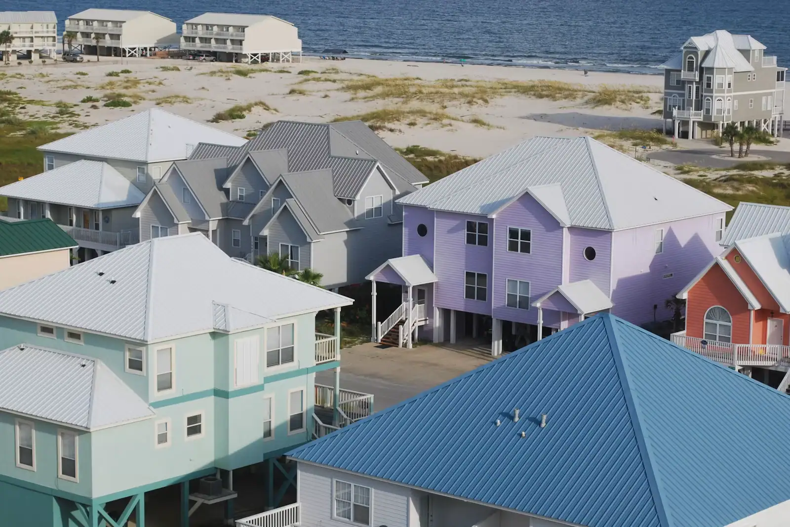
Which is why the west end looks the way it does. Houses on tall pilings, wide gaps between them, sand where lawns would be anywhere else. It is a landscape shaped by the understanding that the Gulf will be back.

For a visitor the practical point is simply that beach access, road ends and individual buildings on this island change. Check before you plan a specific destination out on the west end, rather than assuming what a map from three years ago shows.

Near Dauphin Island

Straight-line distances, so allow more on the road — the island is long and has one main parkway.

  • Small boats lying at anchor on flat grey water under a heavy cloud-filled sky
    Landmark

    Mobile Bay Ferry

    Forty minutes across the mouth of Mobile Bay, no advance tickets, and a service that has been suspended more than once.

    0.5–2 hoursRecently $15 for a vehicle under 22 feet, $20 for 22 feet and over, $7 for a motorcycle, and $6 per passenger or pedestrian, one way.5.6 mi away

  • Cars moving along a two-lane coastal highway with open water alongside it
    Historic site

    Fort Morgan State Historic Site

    A brick pentagon at the end of a 22-mile peninsula, where Farragut ran the Union fleet into Mobile Bay in August 1864.

    1–3 hoursRecently around $8 for an adult, about $5 for students, seniors and children aged 6 to 18, with a family rate and free entry for military with ID.5.5 mi away

  • Two anglers casting from a concrete pier into open water in the last light of the evening
    Landmark

    Fort Morgan Fishing Pier

    A bayside pier at the end of the peninsula, rebuilt with oil-spill restoration money after eight years closed.

    1.5–5 hoursAccess to the pier is managed with the Fort Morgan historic site. An Alabama saltwater fishing licence is required to fish.5.6 mi away

  • Working fishing boats moored along a harbour dock under a heavy overcast sky
    Free
    Neighbourhood

    Bon Secour

    A river village that has processed Alabama's seafood since the 1890s, fifteen minutes from the beach and a century from the condo towers.

    1–2 hoursFree. There is nothing to pay to drive out here; the point is to buy seafood while you are there.23.4 mi away

Dauphin Island: common questions

How do you get to Dauphin Island from Gulf Shores?

Either by the Mobile Bay Ferry from the end of the Fort Morgan peninsula, roughly forty-five minutes' drive west of Gulf Shores followed by a short crossing, or by road around the top of Mobile Bay through the city and south on Alabama 193, which takes about two hours each way. The ferry is the better trip by a wide margin. Confirm it is running and check the day's timetable before you leave.

Is Dauphin Island worth a day trip?

If you want a barrier island with 1,778 residents, a brick Civil War fort, one of North America's better migration stopovers and no condominium wall, yes. If you want more of what Gulf Shores already offers, no. The island is deliberately quiet: limited restaurants, no water park, no resort strip. Come for Fort Gaines, the Audubon sanctuary, the Estuarium and a beach with nobody on it.

What is there to do on Dauphin Island?

Fort Gaines on the eastern tip, self-guided through tunnels and gun positions; the Audubon Bird Sanctuary, around 164 acres of maritime forest and marsh with a boardwalk; the Estuarium at the Dauphin Island Sea Lab, an aquarium about the Mobile-Tensaw estuary with an outdoor stingray touch tank; a wide free public beach; and boat launches and a pier at East End Landing on the mouth of Mobile Bay.

Why is the Dauphin Island fishing pier on dry land?

Because the sand moved. Pelican Island migrated into the public beach shoreline, and the roughly 850-foot pier that once stood over water now stands over sand. It has been reconfigured as a walkway for sightseeing and picnicking, with steps at the far end down to the Gulf shore. Anglers use East End Landing instead. It is the clearest illustration on this coast of how quickly a barrier shoreline rearranges itself.