Skip to content
Search
Menu

These bookings go through Viator, and we are paid for them. Your price is the same, and the payment had nothing to do with the picks.

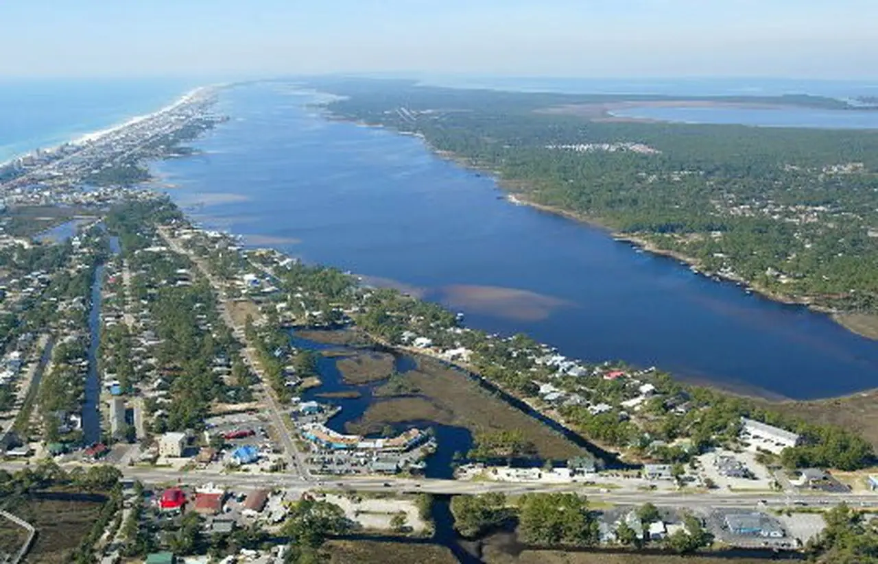
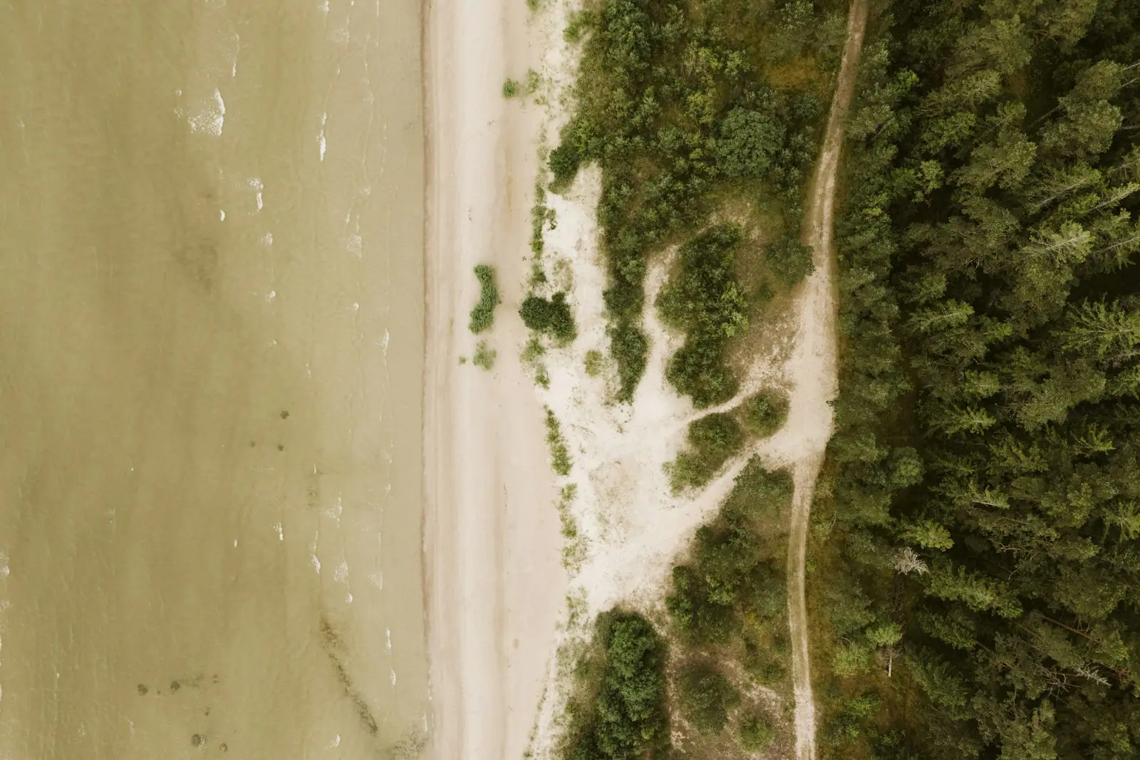
An aerial view of an empty pale sand shoreline meeting an unbroken block of dense pine forest
U.S. Fish and Wildlife Service Southeast Region

Nature preserve

Bon Secour National Wildlife Refuge

Last updated

Alabama's last large stretch of wild coastal dune, walkable on foot only, and protected largely for a nocturnal mouse.

Drive west out of Gulf Shores on Fort Morgan Road and the towers stop. What replaces them is scrub, dune, pine and lagoon, and a good deal of it is federal land: Bon Secour National Wildlife Refuge, established by Congress in 1980 and running to something in the region of seven thousand acres across several separate units rather than one continuous block.

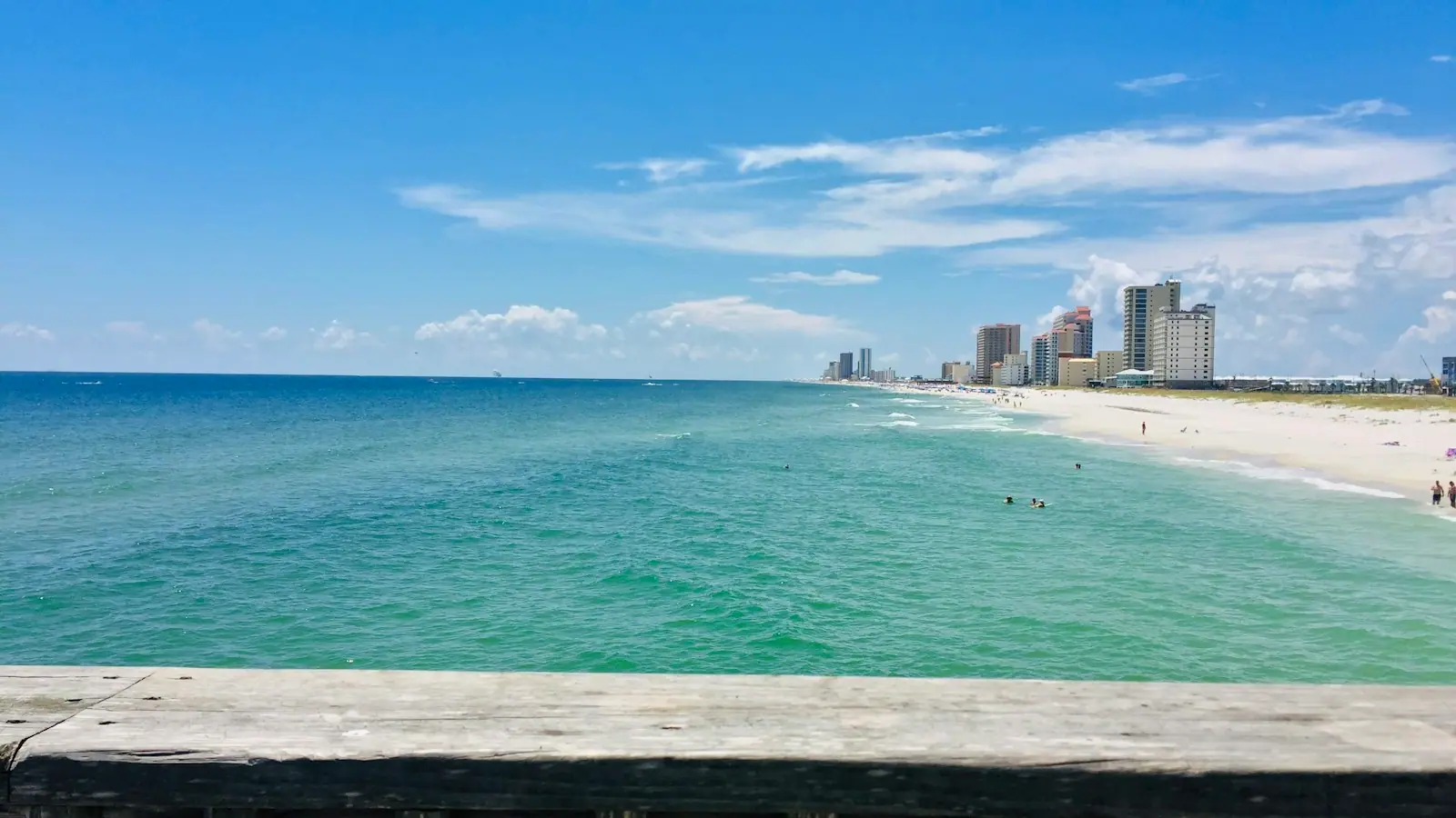
This is the control sample. Everything a visitor sees at Gulf Place or along Perdido Beach Boulevard is what this coast became. Bon Secour is what it was — a system of frontal dunes, scrub-covered ridges, freshwater ponds, maritime forest and beach that has never been built on, and which is now, in any meaningful sense, the last large piece of it in Alabama.

The animal responsible for that protection is one almost nobody sees. The Alabama beach mouse is a small, pale, nocturnal rodent that lives in burrows in the dunes, feeds largely on the seeds of sea oats and dune grasses, and exists nowhere else on earth. It is federally listed as endangered, and the dune vegetation it depends on is exactly what coastal development removes first. Sea turtles nest on the refuge beach through the summer. Neotropical songbirds crossing the Gulf make landfall along this shore in spring, which in April makes a thicket here more valuable to a birder than any amount of open water.

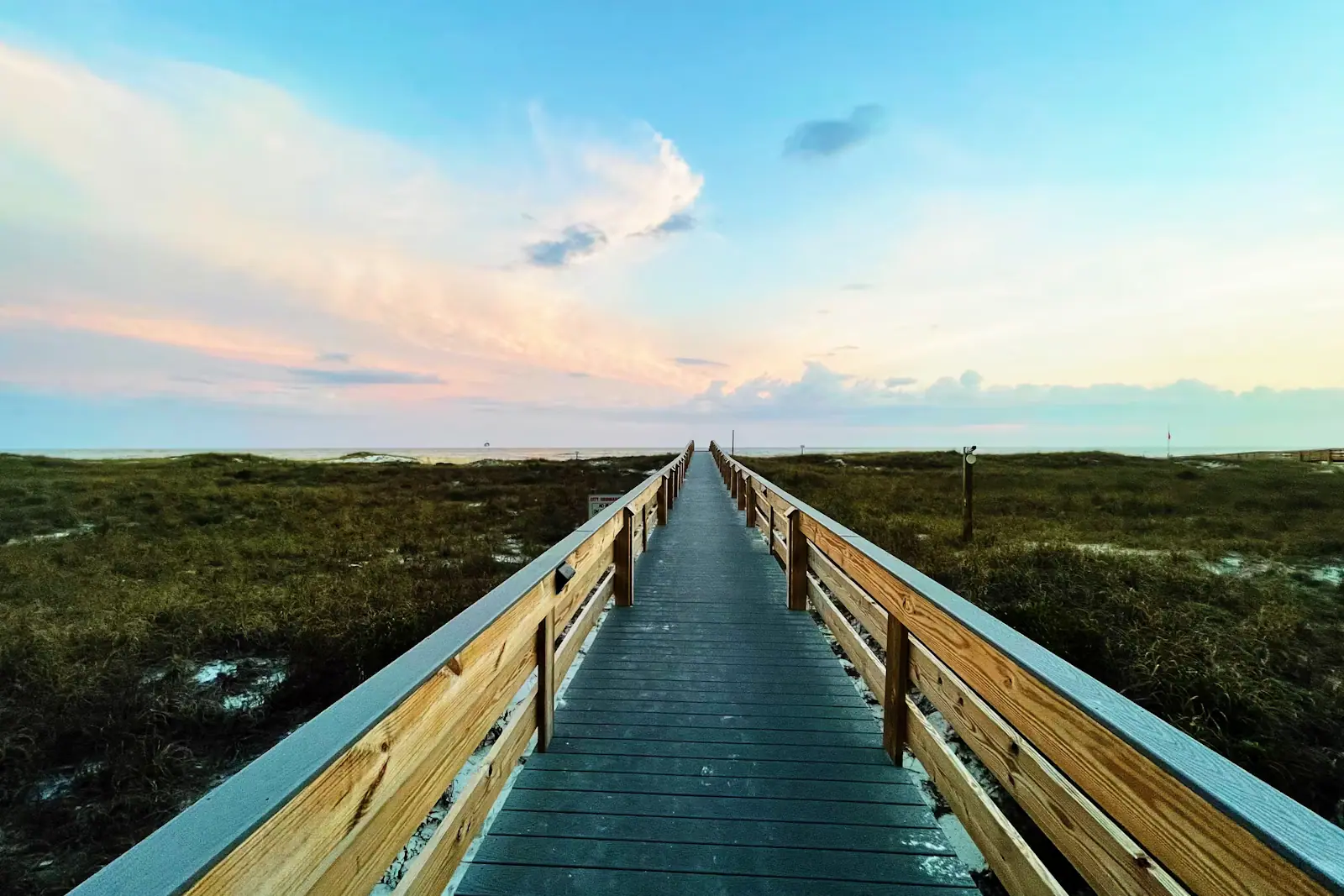
Walking it is straightforward and deliberately low-key. Foot traffic only, no bicycles, sunrise to sunset, no entry fee, and effectively no facilities. The Pine Beach route reaches a stretch of Gulf shoreline that no road serves, which is why it is the only beach in Alabama you have to earn.

Getting there and parking

Head west from Gulf Shores on Fort Morgan Road (Highway 180). The refuge's main trailheads are signed on the left and right within roughly eight to twelve miles of town, well before the fort itself.

Because the refuge is several separate units rather than one block, the trailheads are separate car parks rather than a single entrance, and they are small. Arriving early on a spring weekend is worth doing for the space as much as for the birds.

From Orange Beach allow about fifty minutes, since you have to cross the whole of Gulf Shores first. The Fort Morgan peninsula has one road and no alternative, so a caravan of beach traffic or a ferry queue at the far end can slow the whole run.

There is no public transport of any kind out here, and phone coverage thins as you go west. Fuel up in Gulf Shores; the peninsula has very little.

The trails, and which one to pick

The refuge publishes distances for its named routes, and they are shorter than the landscape suggests, because this is flat ground in deep sand and heat rather than mountain walking.

TrailDistanceShapeWhat it gives you
Jeff Friend TrailAbout a mileLoopMaritime forest and the edge of Little Lagoon; the easiest introduction
Gator Lake Trail0.78 milesLoopMaritime forest and wetland near Little Lagoon; described by the refuge as accessible
Chan West Pine Beach Trail0.78 milesPoint to pointA dune ridge walk through the transition from forest to frontal dune
Centennial Trail1.65 milesPoint to pointForest, scrub and dune, with an observation tower at the one-mile mark over Gator Lake
Lagoon Trail2.06 milesPoint to pointThe connector between Jeff Friend and Pine Beach, through forest and dune swales

For a first visit with children or limited time, Jeff Friend is the answer: short, shaded in places, and it puts you on the lagoon within minutes.

For the thing people come for — a Gulf beach with no road, no parking and nobody on it — the Pine Beach route is the one, and the walk out and back in soft sand under full sun is longer in effort than in miles. Take twice the water you think you need.

The observation tower on the Centennial Trail is the best raised viewpoint in the refuge and the most reliable place to see alligators in Gator Lake from a safe distance.

The mouse, the sea oats and why you stay on the path

The Alabama beach mouse is the reason a great deal of this land is federal and not condominium. It is a subspecies of oldfield mouse found only on this stretch of coast, pale enough to be nearly invisible against the quartz sand, active at night, and entirely dependent on the dune system for burrows and for food. Sea oats and dune grasses produce the seed it lives on. Remove the dunes and you remove the mouse.

That is why the rules here are about vegetation rather than about wildlife. Stay on the marked trails and the designated crossings. Do not walk over the dunes, however tempting the shortcut to the water looks, because footfall kills the grasses, the grasses hold the sand, and the sand is the habitat.

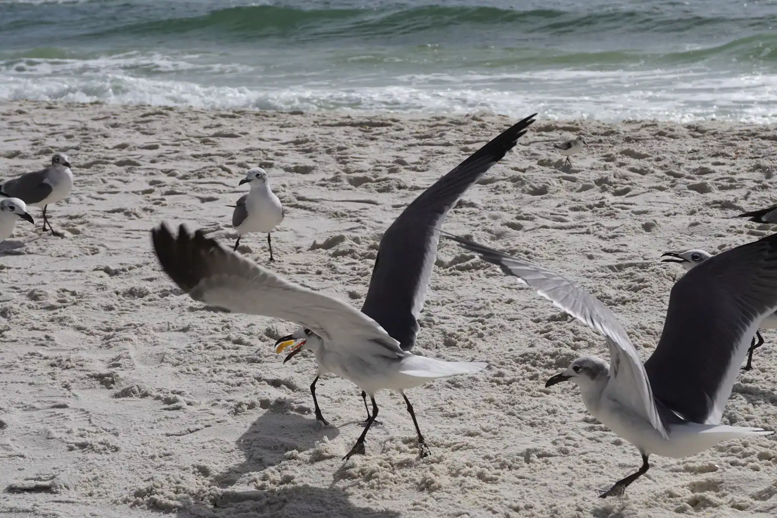
The same protection covers a great deal else. Loggerhead, green and Kemp's ridley sea turtles nest along the refuge beach, so summer visitors should treat any marked nest area as off limits and take everything they brought back out with them. Holes dug in the sand are a genuine hazard to a nesting female and to hatchlings, and refilling them before you leave is the standard courtesy on this whole coast.

Spring migration is the refuge's other headline. Songbirds crossing the Gulf make first landfall on shores like this one, and after a hard crossing they drop into the first cover they find. April mornings in the maritime forest here can be extraordinary and almost nobody is there.

What is not here

This is a refuge rather than a park, and the difference is the point. The list of what it does not have is longer than the list of what it does.

No entry fee, and no visitor centre on the trails. No cafe, no shop, no drinking water on the routes. Restroom provision at trailheads is limited and should not be assumed. No lifeguards anywhere, and the beach at the end of the Pine Beach walk has no supervision of any kind and no easy way to summon help.

No bicycles. The refuge states plainly that its trails are for foot traffic, which rules out riding here from the Backcountry Trail network a few miles east.

Very little shade on the dune sections, and deep, soft sand underfoot for long stretches, which turns an easy-sounding two miles into real work between June and September.

Mosquitoes, ticks and biting flies in the wooded and wetland sections, seriously so from late spring into autumn. Repellent and long trousers earn their place here.

Alligators in Gator Lake and the freshwater ponds, snakes including cottonmouths near water, and no phone signal that can be relied on.

Check the refuge's own current conditions before setting out. Storm damage closes trails on this coast regularly and the refuge does not always have the resources to reopen them quickly.
Near Bon Secour Refuge

Straight-line distances, so allow more on the road — the island is long and has one main parkway.

  • Cars moving along a two-lane coastal highway with open water alongside it
    Historic site

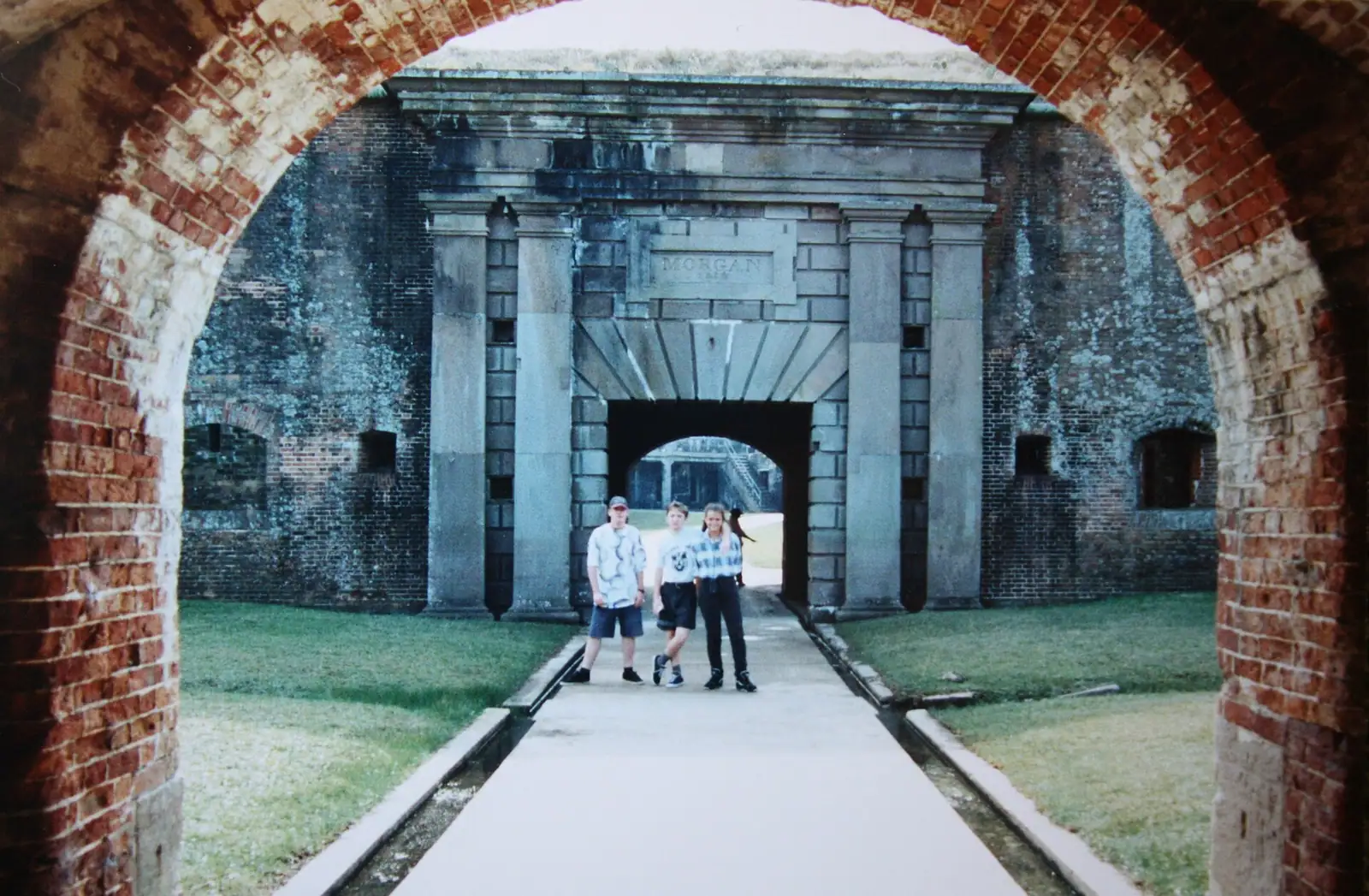
    Fort Morgan State Historic Site

    A brick pentagon at the end of a 22-mile peninsula, where Farragut ran the Union fleet into Mobile Bay in August 1864.

    1–3 hoursRecently around $8 for an adult, about $5 for students, seniors and children aged 6 to 18, with a family rate and free entry for military with ID.11.9 mi away

  • A wide empty stretch of pale sand running away beside shallow clear water with almost nobody on it
    Free
    Beach

    West Beach

    A ribbon of sand with the Gulf on one side and a ten-mile brackish lagoon on the other, reached by numbered street ends.

    1.5–5 hoursThe beach is free. Designated parking spaces at the street ends and at Lagoon Pass Park are charged by the hour in season.5.7 mi away

  • Two paddleboarders crossing a wide sheet of flat, pale, mirror-calm water under a soft sky
    Free
    Water feature

    Little Lagoon

    Ten miles of shallow, warm, brackish water behind West Beach, with one public ramp and a pass that eats propellers.

    1.5–5 hoursThe water is free to use. The city charges for parking at Little Lagoon Pass Park, recently around five dollars for up to four hours and ten for a full day.4.6 mi away

  • Small boats lying at anchor on flat grey water under a heavy cloud-filled sky
    Landmark

    Mobile Bay Ferry

    Forty minutes across the mouth of Mobile Bay, no advance tickets, and a service that has been suspended more than once.

    0.5–2 hoursRecently $15 for a vehicle under 22 feet, $20 for 22 feet and over, $7 for a motorcycle, and $6 per passenger or pedestrian, one way.11.8 mi away

Bon Secour Refuge: common questions

What is the Alabama beach mouse?

A small, pale, nocturnal rodent that lives in burrows in the coastal dunes of this part of Alabama and nowhere else on earth. It feeds largely on the seeds of sea oats and other dune grasses, which ties its survival directly to intact dune vegetation. It is federally listed as endangered, and protecting its habitat is a large part of why Bon Secour National Wildlife Refuge exists at all. Visitors almost never see one.

How long are the trails at Bon Secour?

Short on paper and harder in practice. The refuge lists the Gator Lake Trail and the Chan West Pine Beach Trail at 0.78 miles each, the Centennial Trail at 1.65 miles with an observation tower at the one-mile mark, the Lagoon Trail at 2.06 miles, and the Jeff Friend Trail as a roughly one-mile loop. Deep sand, full sun and heat make these walks considerably more work than the distances suggest.

Can you bike at Bon Secour National Wildlife Refuge?

No. The refuge states that its trails are designed for foot traffic and bicycles are not allowed, which surprises visitors arriving from the Backcountry Trail network a few miles east where riding is the whole point. Walk it instead, and take more water than you expect to need: there is no drinking water on any refuge trail and very little shade once you leave the maritime forest.

Is Bon Secour free to visit?

Yes. There is no entry fee and no parking charge at the trailheads, which makes it the best-value half day on the Alabama coast. What you also get for nothing is an absence of facilities: no visitor centre on the trails, no water, limited restrooms, no lifeguards on the beach the Pine Beach route reaches, and no reliable phone signal. Plan accordingly rather than turning up empty handed.

Why do you have to stay on the trails at Bon Secour?

Because the dune vegetation is the habitat. Sea oats and dune grasses hold the sand in place and produce the seed the endangered Alabama beach mouse lives on, and footfall across a dune kills the grass, which starts the sand moving. Sea turtles also nest on the refuge beach through the summer, so marked nest areas are off limits, and any hole dug in the sand should be filled in before you leave.