On this page
- What is actually inside the boundary
- The Backcountry Trail is the best thing here and it costs nothing
- The pier, and what Hurricane Sally did to it
- Lake Shelby and the freshwater side
- Which entrance to use
- When the park is at its best
- Alligators, snakes and the things that actually bite
- If you only have one morning
- Common questions
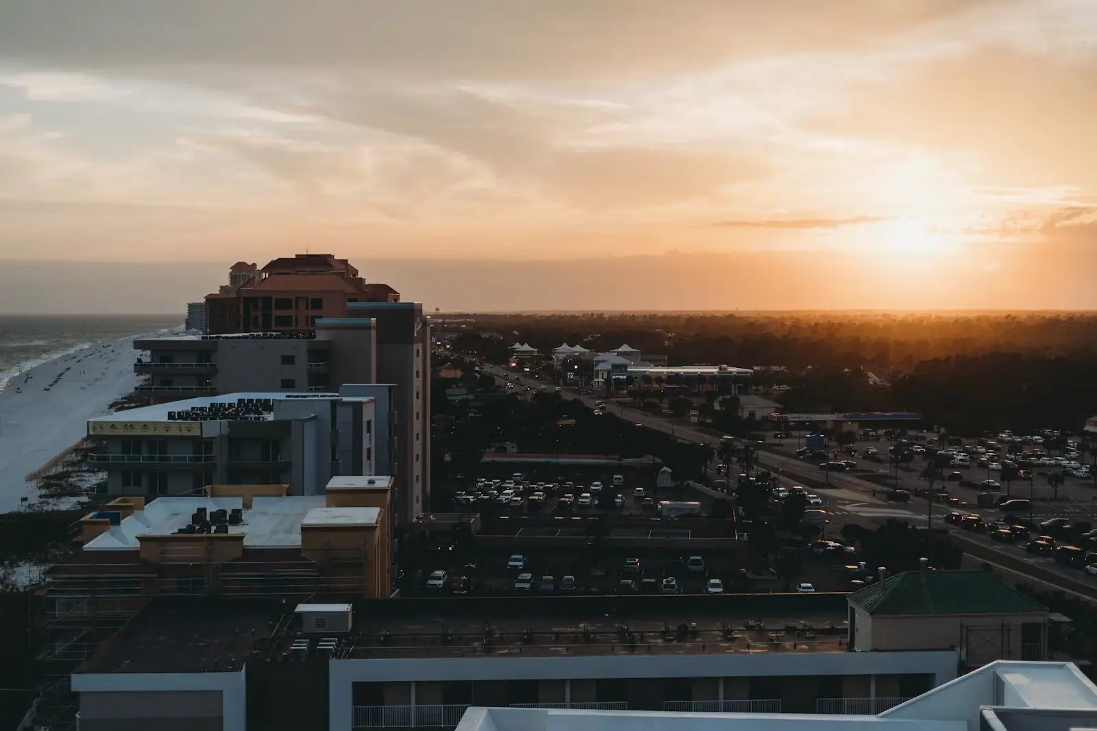
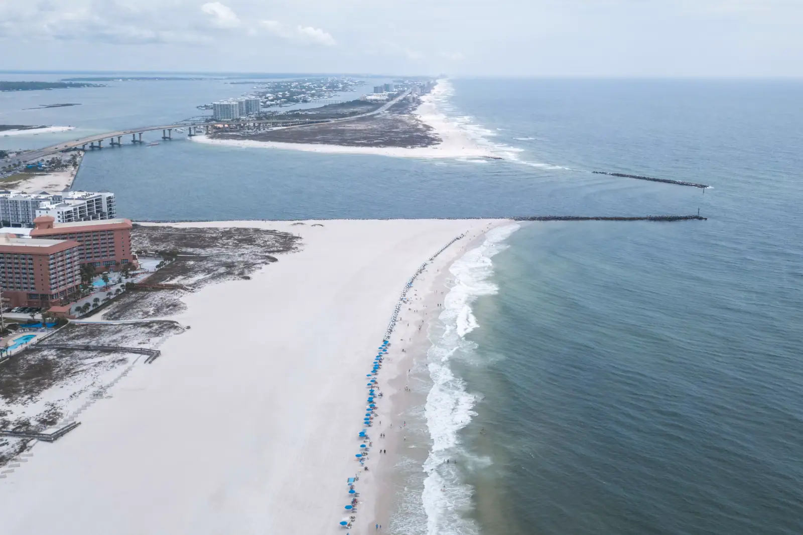
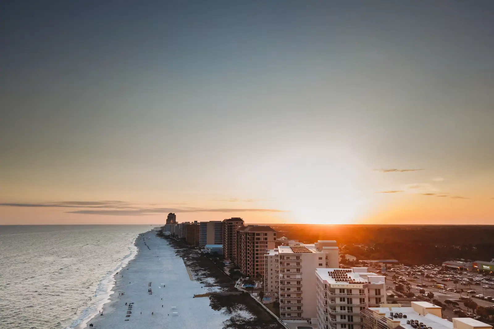
Gulf State Park covers something in the region of 6,150 acres, and the town is wrapped around it rather than the other way round. Highway 59 runs straight through the middle of it to the sand. Beach Boulevard runs the length of its Gulf frontage. There are two miles of public beach on the south side, three freshwater lakes behind the dune line, a campground big enough to have its own traffic, a 350-room hotel, a nature centre and a concrete pier that reaches a quarter of a mile into the water.
That is an unusual arrangement and it is the reason this page runs long. On most of the coasts covered on this network, the state park is a morning out. Here it is the spine of the week, and a family that never crosses the road into it is paying Gulf-front rates for half a holiday.
What is actually inside the boundary
| Part of the park | Where | What it is for |
|---|---|---|
| Beach and pavilion | South side, at the foot of Highway 59 | Two miles of public Gulf beach, restrooms, showers, paid parking |
| Gulf State Park Pier | Just east of the pavilion | 1,540 feet of concrete; fishing and walk-on passes sold separately |
| Backcountry Trail | Everything north of the dunes | 28-plus miles of paved path across nine ecosystems |
| Lake Shelby | North of Beach Boulevard | Freshwater, day-use area, paddling, picnic pavilions |
| Campground | North end, off Highway 135 | 496 full-hookup sites, among the largest in the Southeast |
| The Lodge | Beachfront | A 350-room Hilton built on the site Hurricane Ivan cleared in 2004 |
| Nature Center and Learning Campus | Near the campground | Ranger programmes, native species, a restaurant on the campus |
One correction worth making early, because search results have not caught up: the park's 18-hole golf course closed on 2 December 2018 and has not reopened. Golf on this coast now means Craft Farms, Kiva Dunes, Peninsula and the courses inland towards Foley. Do not drive into the park with clubs in the boot.
The Backcountry Trail is the best thing here and it costs nothing
The Hugh S. Branyon Backcountry Trail is a paved, largely flat, multi-use network of twenty-six named segments adding up to more than 28 miles. It carries the name of the man who ran this park from 1970 until he retired in 2009. It was designated a National Recreation Trail in 2010, and USA Today readers voted it the country's best recreational trail three years in a row, in 2023, 2024 and 2025.
The award matters less than the surface. Paved means a pushchair works. It means a wheelchair works. It means a six-year-old on a balance bike can do a mile of it and a grandparent can meet them at the other end. And the nine ecosystems are not a brochure count: you can leave a pine savannah and be under live oaks within ten minutes of pedalling.
| Segment | Roughly | What you are actually in |
|---|---|---|
| Rosemary Dunes | 1.6 miles | Relict dune scrub — beach mouse and gopher tortoise ground |
| Gulf Oak Ridge | 3.2 miles | Live oak and palmetto maritime forest, the deepest shade in the park |
| Twin Bridges | 1.75 miles | Pine savannah with a pitcher plant bog; bobcats are seen here |
| Lake Shelby Overlook | Short spur | Open water and wading birds, and the likeliest alligator |
| Catman Road | Connector | The spine most cyclists use to get from one end to the other |
Ride it early. The trail runs low and the canopy is patchy, so by eleven on a July morning it is hot work, and by two the inland storm cells are usually building. Bikes rent by the day and by the week in both towns, and a week's hire costs less than two days of paid beach parking.
The pier, and what Hurricane Sally did to it
The Gulf State Park Pier runs 1,540 feet into the Gulf and is generally described as the longest on the Gulf of Mexico. In September 2020 Hurricane Sally took roughly 200 feet out of the middle of it, months after an extensive renovation had finished. The rebuild ran to about $13.6 million and the pier reopened to anglers and walkers on 19 August 2024.
Two practical points. Passes are sold separately for fishing and for simply walking out, and the difference in price is large; if you only want the view, say so at the gate rather than buying the wrong ticket. And ask at the window what the pier's own licence covers before you buy an Alabama saltwater licence you may not need — the arrangements changed with the rebuild and the staff there will tell you straight.
What you catch depends entirely on the month. Spanish mackerel and bluefish in the warm water, pompano on the shoulders of the season, redfish and the occasional king in the autumn. The last third of the pier is where the serious anglers stand and it has its own etiquette: no casting across somebody's line, no walking off and leaving a rod in a holder for an hour.
Lake Shelby and the freshwater side
Three lakes sit behind the dunes — Lake Shelby is the big one, with Middle Lake and Little Lake behind it. They are a few hundred yards from salt water and they behave nothing like it: no waves, no current, tannic and warm, ringed with cypress and pine.
The day-use area has pavilions, tables, a launch for kayaks and canoes, and enough shade to sit out the middle of a hot day. It is also the best chance in the park of seeing an alligator, which is the part to take seriously rather than photograph badly. These are wild animals in their own habitat. Keep dogs leashed and well back from the bank, do not let children play at the water's edge, and never, under any circumstances, feed one. A fed alligator is a relocated alligator at best.
Which entrance to use
- The beach and pier: come down Highway 59 to the end. Parking at the pavilion is paid and it fills on summer mornings.
- Lake Shelby and the day-use area: off Beach Boulevard, east of the Highway 59 junction.
- The campground and Nature Center: Highway 135 at the north end, which is also the least congested way in.
- The trail: there is no single front door. Trailheads are scattered across both towns, including one at the Orange Beach end, and the park's own map is the only reliable guide to which segment starts where.
Day-use and camping fees are set by Alabama State Parks and have moved more than once lately. Treat any number you find on a third-party site as a rough shape, and take the real figure from the park's own page before you build a week's budget on it.
When the park is at its best
March and April, and then late September through November. The trail is comfortable, the bugs are tolerable, the campground is busy rather than full, and the light on Lake Shelby in the hour before sunset is the reason people keep coming back to a flat, unglamorous lake in a beach town.
High summer is the park at its hardest: hot, humid, and buggy in the low ground after rain. Go out at seven, come back by ten, and use the afternoon for water. January and February are quietly excellent if you do not need to swim — the trail is empty, the migratory birds are in, and the campground is full of people who have been coming for twenty winters.
Alligators, snakes and the things that actually bite
This is a working coastal ecosystem with a footpath through it, not a landscaped park, and the wildlife is genuinely wild.
Alligators live in all three lakes and in the wet ground either side of several trail segments. They are not aggressive towards people who behave sensibly, and they become dangerous precisely when they stop being wary — which is what feeding does. Keep back from the bank, keep dogs on a short lead and away from the water entirely, and do not let a child run ahead on a lakeside spur.
Snakes are present and mostly harmless, but cottonmouths do live in the wet ground. Stay on the pavement, which is easy advice to follow because the pavement is the trail.
Ticks and chiggers are the likelier problem by a wide margin. If you leave the paved surface in summer, treat your ankles, and check afterwards.
Mosquitoes are heaviest at dawn and dusk in the low sections, and worse for a week after heavy rain. That is the trade-off for a trail system built through wetland.
None of this should keep anyone off the trail. It should keep everyone on it.
If you only have one morning
Do this. Be at a trailhead by half past seven with bikes. Ride Gulf Oak Ridge for the shade and the live oaks, cut across to the Lake Shelby Overlook and stop for ten minutes on the water, then come back along the campground side.
That is about an hour and a half at a child's pace and it shows you four of the nine ecosystems without anybody getting hot enough to complain.
Then drive or ride to the pier, buy walk-on passes rather than fishing passes, and go out to the end. The view back at the coast from 1,540 feet offshore is the single best orientation you will get in this destination: the state park beach in the middle, the Gulf Shores towers to the west, the Orange Beach towers to the east, and nothing but dune between them.
Be off the pier and back in the shade by eleven in July. In October you can stay all afternoon.
Last updated
Opening hours, ordinances and prices move with the season. We re-check this guide rather than rewrite it, and the date above is the last time someone did. How we research and correct.